El Cairo Airport | |||||||||||
|---|---|---|---|---|---|---|---|---|---|---|---|
| Summary | |||||||||||
| Airport type | Public | ||||||||||
| Serves | El Cairo, Bolivia | ||||||||||
| Elevation AMSL | 531 ft / 162 m | ||||||||||
| Coordinates | 13°47′25″S 66°19′15″W / 13.79028°S 66.32083°W | ||||||||||
| Map | |||||||||||
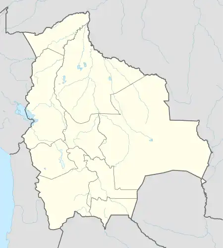 SLEC Location of El Cairo Airport in Bolivia | |||||||||||
| Runways | |||||||||||
| |||||||||||
El Cairo Airport (ICAO: SLEC) is an airstrip in the pampa of Beni Department in Bolivia. The nearest town is Santa Rosa de Yacuma, 60 kilometres (37 mi) southwest.
See also
References
- ↑ Airport record for El Cairo Airport at Landings.com. Retrieved 2013-08-11
- ↑ Bing Maps - El Cairo
- ↑ Airport information for El Cairo Airport at Great Circle Mapper.
External links
- OpenStreetMap - El Cairo
- OurAirports - El Cairo
- Fallingrain - El Cairo Airport
- Google Maps - El Cairo
- Accident history for El Cairo Airport at Aviation Safety Network
This article is issued from Wikipedia. The text is licensed under Creative Commons - Attribution - Sharealike. Additional terms may apply for the media files.