El Pla dels Roures | |
|---|---|
Locality | |
 | |
 El Pla dels Roures 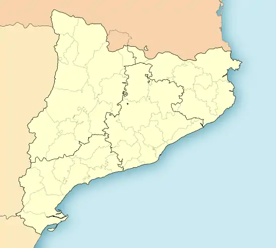 El Pla dels Roures  El Pla dels Roures | |
| Coordinates: 42°2′3″N 1°25′17″E / 42.03417°N 1.42139°E[1] | |
| Country | |
| Community | |
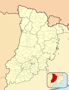
| Province | Lleida |
| Municipality | Lladurs |
| Elevation | 550 m (1,800 ft) |
| Population | |
| • Total | 8 |
El Pla dels Roures is a locality located in the municipality of Lladurs, in Province of Lleida province, Catalonia, Spain. As of 2020, it has a population of 8.[2]
Geography
El Pla dels Roures is located 101km east-northeast of Lleida.
References
- ↑ Mapa de El Pla dels Roures, Lladurs, Provincia de Lérida, Cataluña
- ↑ "Nomenclátor: Población del Padrón Continuo por Unidad Poblacional" (in Spanish). Instituto Nacional de Estadística (España). Retrieved 2 November 2021.
This article is issued from Wikipedia. The text is licensed under Creative Commons - Attribution - Sharealike. Additional terms may apply for the media files.