Engutoto Ward
| |
|---|---|
| Kata ya Engutoto | |
 Engutoto Ward | |
| Coordinates: 3°18′46.08″S 36°26′54.6″E / 3.3128000°S 36.448500°E | |
| Country | |
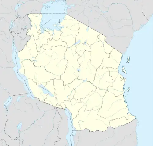
| Region | Arusha Region |
| District | Monduli District |
| Area | |
| • Total | 31.66 km2 (12.22 sq mi) |
| Elevation | 1,578 m (5,177 ft) |
| Population (2012) | |
| • Total | 6,970 |
| • Density | 220/km2 (570/sq mi) |
Engutoto is an administrative ward in the Monduli District of the Arusha Region of Tanzania. The ward covers an area of 31.66 km2 (12.22 sq mi),[1] and has an average elevation of 1,578 m (5,177 ft).[2] According to the 2012 census, the ward has a total population of 6,970.[3]
References
- ↑ "Tanzania: Northern Tanzania (Districts and Wards) - Population Statistics, Charts and Map".
- ↑ "Engutoto, Monduli Elevation".
- ↑ "2012 Population and Housing Census General Report" (PDF). Government of Tanzania. Retrieved 2021-12-11.
This article is issued from Wikipedia. The text is licensed under Creative Commons - Attribution - Sharealike. Additional terms may apply for the media files.