Enniscaven
| |
|---|---|
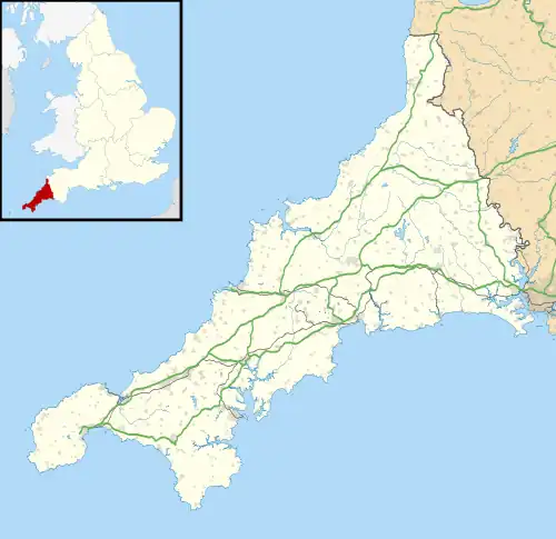 Enniscaven Location within Cornwall | |
| OS grid reference | SW965593 |
| Unitary authority | |
| Ceremonial county | |
| Region | |
| Country | England |
| Sovereign state | United Kingdom |
| Post town | ST AUSTELL |
| Postcode district | PL26 |
| Dialling code | 01726 |
| Police | Devon and Cornwall |
| Fire | Cornwall |
| Ambulance | South Western |
| UK Parliament | |
Enniscaven (Cornish: Enysskawen) is a hamlet that lies 5 miles (8.0 km) north-west of St Austell in Cornwall, England.[1] Enniscaven is in the civil parish of St Dennis. The village is near to Goss Moor which is the largest continuous mire complex in south-west Britain. Goss Moor is part of the Goss And Tregoss Moors Site of Special Scientific Interest (SSSI) which is also a Special Area of Conservation (SAC).[2][3]
References
- ↑ Ordnance Survey: Landranger map sheet 200 Newquay & Bodmin (Map). Ordnance Survey. ISBN 978-0-319-22938-5.
- ↑ "Goss And Tregoss Moors" (PDF). Natural England. 1988. Archived from the original (PDF) on 24 October 2012. Retrieved 27 October 2011.
- ↑ "Breney Common and Goss and Tregoss Moors". Joint Nature Conservation Committee. Retrieved 30 October 2011.
| Unitary authorities | |
|---|---|
| Major settlements (cities in italics) |
|
| Rivers | |
| Topics | |
This article is issued from Wikipedia. The text is licensed under Creative Commons - Attribution - Sharealike. Additional terms may apply for the media files.