Ráth Aireagail | |
 Shown within Ireland | |
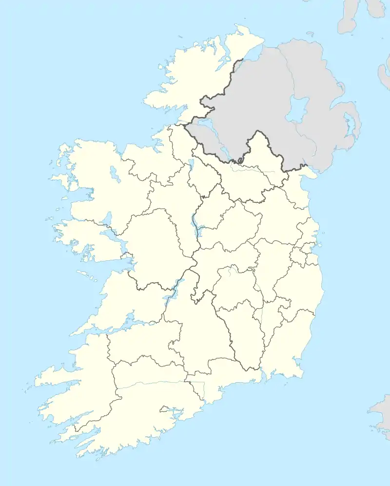
| Location | Errigal, Cootehill, County Cavan, Ireland |
|---|---|
| Coordinates | 54°03′56″N 7°06′14″W / 54.065652°N 7.103841°W |
| Type | ringfort |
| Area | 951 m2 (10,240 sq ft) |
| History | |
| Material | earth |
| Periods | Bronze or Iron Age (c. 2400 BC – AD 400) |
| Site notes | |
| Ownership | private |
| Designation | National Monument |
| Official name | Errigal |
| Reference no. | 585[1] |
Errigal Ringfort, also called Fort William, is a ringfort (rath) and National Monument located in County Cavan, Ireland.[2]
Location
Errigal Ringfort is located about 1.6 km (0.99 mi) west-southwest of Cootehill, just north of the Annalee River.
References
- ↑ "National Monuments of County Cavan in State Care" (PDF). heritageireland.ie. National Monument Service. p. 1. Retrieved 2 July 2020.
- ↑ "Geograph:: Rath, Errigal (Closer view) © Kenneth Allen".
This article is issued from Wikipedia. The text is licensed under Creative Commons - Attribution - Sharealike. Additional terms may apply for the media files.