Eskridge, Mississippi | |
|---|---|
 | |
 Eskridge, Mississippi  Eskridge, Mississippi | |
| Coordinates: 33°34′31″N 89°42′03″W / 33.57528°N 89.70083°W | |
| Country | United States |
| State | Mississippi |
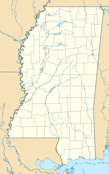
| County | Montgomery |
| Elevation | 295 ft (90 m) |
| Time zone | UTC-6 (Central (CST)) |
| • Summer (DST) | UTC-5 (CDT) |
| ZIP code | 38925 |
| Area code | 662 |
| GNIS feature ID | 669808[1] |
Eskridge is an unincorporated community located in Montgomery County, Mississippi, United States, located approximately 4 miles (6.4 km) south of Duck Hill and 6.7 miles (10.8 km) northeast of Winona. Eskridge is located on U.S. Route 51 and the Grenada Railway.[2] A post office operated under the name Eskridge from 1897 to 1927.[3]
References
- ↑ U.S. Geological Survey Geographic Names Information System: Eskridge, Mississippi
- ↑ Howe, Tony. "Eskridge, Mississippi". Mississippi Rails. Retrieved September 12, 2023.
- ↑ "Montgomery County". Jim Forte Postal History. Retrieved September 12, 2023.
Municipalities and communities of Montgomery County, Mississippi, United States | ||
|---|---|---|
| City |  Map of Mississippi highlighting Montgomery County | |
| Towns | ||
| CDP | ||
| Other communities | ||
| Ghost town | ||
This article is issued from Wikipedia. The text is licensed under Creative Commons - Attribution - Sharealike. Additional terms may apply for the media files.