Espiritu Airport | |||||||||||
|---|---|---|---|---|---|---|---|---|---|---|---|
| Summary | |||||||||||
| Airport type | Public | ||||||||||
| Serves | Espiritu, Bolivia | ||||||||||
| Elevation AMSL | 754 ft / 230 m | ||||||||||
| Coordinates | 13°48′20″S 66°12′15″W / 13.80556°S 66.20417°W | ||||||||||
| Map | |||||||||||
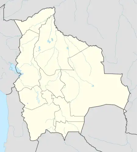 SLES Location of the airport in Bolivia | |||||||||||
| Runways | |||||||||||
| |||||||||||
Espiritu Airport (ICAO: SLES) is an airstrip serving the ranching settlement of Espiritu in the Beni Department of Bolivia. The nearest town to Espiritu in the sparsely populated pampa is Santa Rosa, 70 kilometres (43 mi) west-southwest. There are numerous grass airstrips in the region.
See also
References
- ↑ Airport information for Espiritu Airport at Great Circle Mapper.
- ↑ Google Maps - Espiritu
External links
This article is issued from Wikipedia. The text is licensed under Creative Commons - Attribution - Sharealike. Additional terms may apply for the media files.