Eugene, Missouri | |
|---|---|
 Eugene Location within the state of Missouri | |
| Coordinates: 38°21′17″N 92°24′11″W / 38.35472°N 92.40306°W | |
| Country | United States |
| State | Missouri |
| County | Cole |
| Area | |
| • Total | 0.34 sq mi (0.87 km2) |
| • Land | 0.33 sq mi (0.87 km2) |
| • Water | 0.00 sq mi (0.00 km2) |
| Elevation | 827 ft (252 m) |
| Population (2020) | |
| • Total | 140 |
| • Density | 419.16/sq mi (161.60/km2) |
| Time zone | UTC-6 (Central (CST)) |
| • Summer (DST) | UTC-5 (CDT) |
| Zip Code | 65032 |
| Area code | 573 |
| FIPS code | 29-22798 |
| GNIS feature ID | 2790921[2] |
Eugene is an unincorporated community in extreme southwestern Cole County, Missouri, United States. As of the 2020 census, the population is 140.[3] It is located 10 miles (16 km) east of Eldon on Route 17, approximately 3 miles (5 km) south of U.S. Route 54.
Eugene was founded in 1904, and named after Eugene Simpson, the original owner of the town site.[4] A post office called Eugene has been in operation since 1904.[5]
Demographics
| Census | Pop. | Note | %± |
|---|---|---|---|
| 2020 | 140 | — | |
| U.S. Decennial Census[6] | |||
Education
Cole County R-V School District is located in Eugene and has a K-12 enrollment of approximately 620 students.[7]
References
- ↑ "ArcGIS REST Services Directory". United States Census Bureau. Retrieved September 5, 2022.
- 1 2 U.S. Geological Survey Geographic Names Information System: Eugene, Missouri
- ↑ "Explore Census Data". data.census.gov. Retrieved January 13, 2022.
- ↑ "Cole County Place Names, 1928–1945 (archived)". The State Historical Society of Missouri. Archived from the original on June 24, 2016. Retrieved September 22, 2016.
{{cite web}}: CS1 maint: bot: original URL status unknown (link) - ↑ "Post Offices". Jim Forte Postal History. Archived from the original on March 6, 2016. Retrieved September 22, 2016.
- ↑ "Census of Population and Housing". Census.gov. Retrieved June 4, 2016.
- ↑ "About Cole County R-V School District". Cole County R-V School District. Retrieved October 6, 2023.
Municipalities and communities of Cole County, Missouri, United States | ||
|---|---|---|
| Cities | 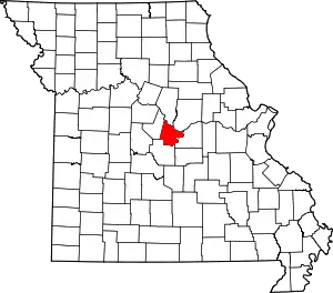 Map of Missouri highlighting Cole County | |
| Villages | ||
| Townships | ||
| CDP | ||
| Other communities | ||
| Ghost towns | ||
| Footnotes | ‡This populated place also has portions in an adjacent county or counties | |
38°21′10″N 92°24′14″W / 38.35278°N 92.40389°W
This article is issued from Wikipedia. The text is licensed under Creative Commons - Attribution - Sharealike. Additional terms may apply for the media files.