Fairview | |
|---|---|
 Low-cost housing across Fairview | |
 Fairview 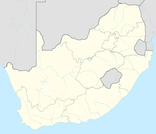 Fairview | |
| Coordinates: 30°57′54″S 27°35′8.5″E / 30.96500°S 27.585694°E | |
| Country | South Africa |
| Province | Eastern Cape |
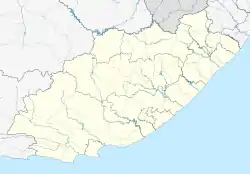
| District | Joe Gqabi |
| Municipality | Senqu |
| Area | |
| • Total | 0.81 km2 (0.31 sq mi) |
| Elevation | 1,790 m (5,870 ft) |
| Population (2011)[1] | |
| • Total | 3,137 |
| • Density | 3,900/km2 (10,000/sq mi) |
| Racial makeup (2011) | |
| • Black African | 82.2% |
| • Coloured | 17.6% |
| • White | 0.2% |
| First languages (2011) | |
| • Xhosa | 70.0% |
| • Afrikaans | 18.7% |
| • Sotho | 6.7% |
| • Sign Language | 2.0% |
| • Other | 2.6% |
| Time zone | UTC+2 (SAST) |
| Postal code (street) | 9786 |
| PO box | n/a |
| Area code | 045-971- |
Fairview is a township in Barkly East, a rural town in Eastern Cape Province, South Africa.
References
- 1 2 3 4 "Sub Place Fairview". Census 2011.
Municipalities and communities of Joe Gqabi District Municipality, Eastern Cape | ||
|---|---|---|
District seat: Barkly East | ||
| Elundini |
| .svg.png.webp) Joe Gqabi District within South Africa |
| Senqu | ||
| Walter Sisulu |
| |
This article is issued from Wikipedia. The text is licensed under Creative Commons - Attribution - Sharealike. Additional terms may apply for the media files.