Farmersville | |
|---|---|
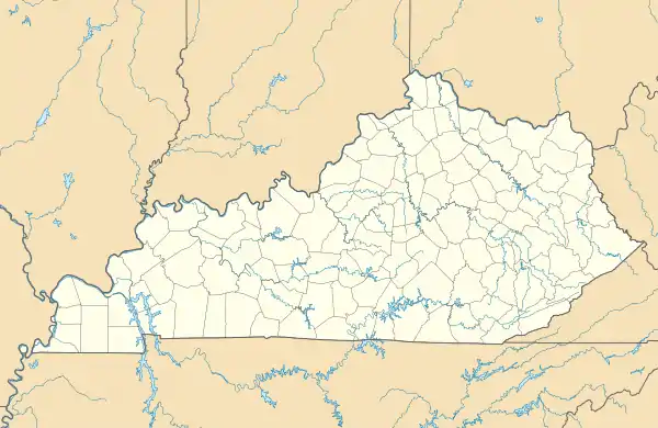 Farmersville Location within the state of Kentucky  Farmersville Farmersville (the United States) | |
| Coordinates: 37°12′09″N 87°54′25″W / 37.20250°N 87.90694°W | |
| Country | |
| State | |
| County | Caldwell |
| Elevation | 348 ft (106 m) |
| Time zone | UTC–6 (CST) |
| • Summer (DST) | UTC–5 (CDT) |
| ZIP codes | 42445 |
| GNIS feature ID | 491995[1] |
Farmersville is a rural unincorporated community in central Caldwell County, Kentucky, United States.[1][2]
References
- 1 2 "Farmersville". Geographic Names Information System. United States Geological Survey, United States Department of the Interior.
- ↑ "Farmersville Populated Place Profile / Caldwell County, Kentucky Data". kentucky.hometownlocator.com. Retrieved April 14, 2019.
Municipalities and communities of Caldwell County, Kentucky, United States | ||
|---|---|---|
| Cities | 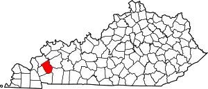 Location of Caldwell County, Kentucky | |
| Unincorporated communities | ||
| Footnotes | ‡This populated place also has portions in an adjacent county or counties | |
This article is issued from Wikipedia. The text is licensed under Creative Commons - Attribution - Sharealike. Additional terms may apply for the media files.