Fatum
| |
|---|---|
 Fatum windmill near Fatum | |
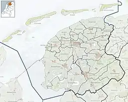 Fatum Location in the province of Friesland in the Netherlands 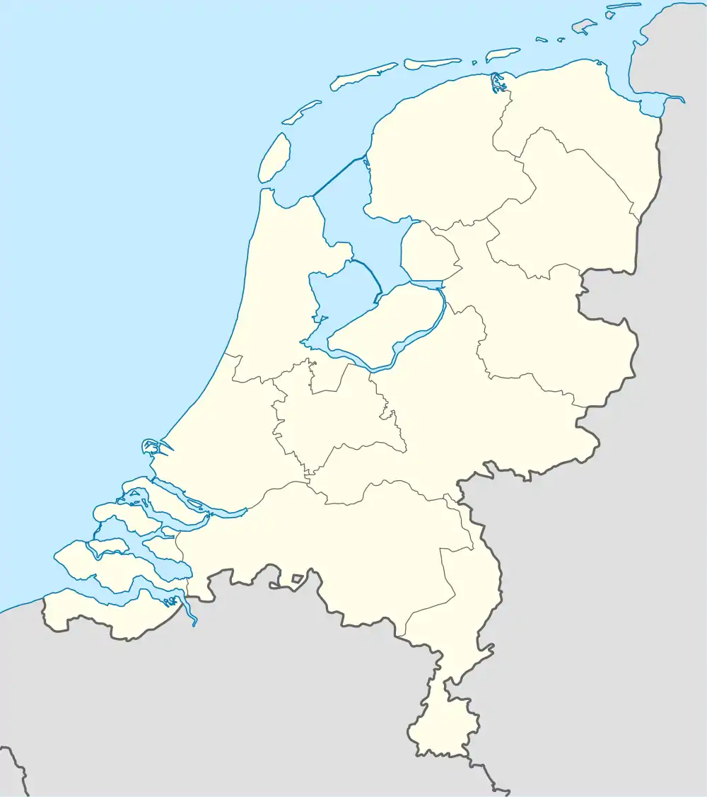 Fatum Fatum (Netherlands) | |
| Coordinates: 53°08′46″N 5°34′18″E / 53.14607°N 5.57170°E | |
| Country | Netherlands |
| Province | Friesland |
| Municipality | Waadhoeke |
| Village | Tzum |
| Elevation | 0.5 m (1.6 ft) |
| Population | |
| • Total | c. 20 |
| Time zone | UTC+1 (CET) |
| • Summer (DST) | UTC+2 (CEST) |
| Postcode | 8804 |
| Area code | 0517 |
Fatum (Dutch pronunciation: [ˈfaː.tʏm]; West Frisian: Fâtum or Fâltum) is a hamlet in the Dutch municipality of Waadhoeke in the province of Friesland. It is located northwest of Spannum and southwest of Tzum, of which it is a part administratively. The residences are located on the Wommelserweg between the hamlets De Kampen and Teetlum. In the hamlet is a windmill with the same name.
Fatum originated on a terp over which the Wommelserweg runs. In 1433 it was first mentioned in a copy as Faltma, in 1457 as Faltum, in 1511 as Fautum and in 1718 as Faldum and Faatum.[3] In the 19th century the last two also occur in addition to Fatum.
The place name probably points to the fact that it was the residence (-heem/-um) of or founded by the person Falda or Falte.[3] It is sometimes also thought that the name refers to a place of residence near a fenced sheepfold or milking parlor (fald).[4]
References
- ↑ "Postcodetool for 8804NN". Actueel Hoogtebestand Nederland (in Dutch). Het Waterschapshuis. Retrieved 9 October 2023.
- ↑ "Fatum". Plaatsengids (in Dutch). Retrieved 9 October 2023.
- 1 2 Van Berkel, Gerard; Samplonius, Kees (2018). Nederlandse plaatsnamen verklaard (in Dutch). Mijnbestseller.nl. ISBN 9789463679176.
- ↑ Miedema, H.T.J. (1975). "Typen van terpnamen vooral in de oude kern van Westergo". Naamkunde. 7 (3–4): 182. Retrieved 9 October 2023.
External links
![]() Media related to Fatum (Friesland) at Wikimedia Commons
Media related to Fatum (Friesland) at Wikimedia Commons