Firgrove | |
|---|---|
 Firgrove 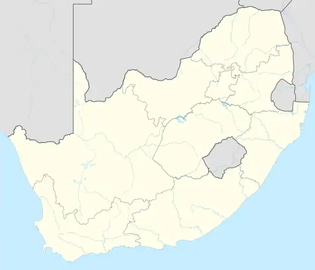 Firgrove | |
| Coordinates: 34°03′18″S 18°47′02″E / 34.0549539°S 18.7838779°E | |
| Country | South Africa |
| Province | Western Cape |
| Municipality | City of Cape Town |
| Area | |
| • Total | 0.64 km2 (0.25 sq mi) |
| Population (2011)[1] | |
| • Total | 1,891 |
| • Density | 3,000/km2 (7,700/sq mi) |
| Racial makeup (2011) | |
| • Coloured | 90.96% |
| • Black African | 4.92% |
| • Other | 3.65% |
| • Indian/Asian | 0.26% |
| • White | 0.21% |
| First languages (2011) | |
| • Afrikaans | 68.10% |
| • English | 22.75% |
| • Northern Sotho | 4.23% |
| • Other | 2.75% |
| • Xhosa | 1.11% |
| • Tswana | 0.32% |
| • Southern Ndebele | 0.32% |
| • Zulu | 0.26% |
| • Sign Language | 0.11% |
| • Venda | 0.05% |
| Time zone | UTC+2 (SAST) |
| Postal code (street) | 7110 |
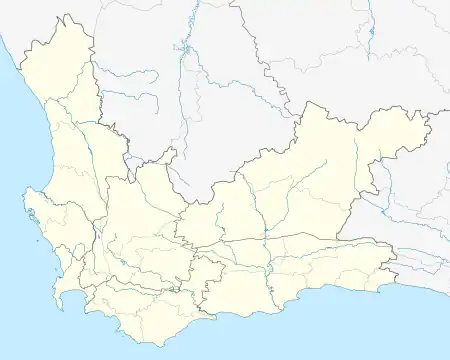
Firgrove is a small town located 39 km southeast of Cape Town and 7 km west of Somerset West in the Western Cape province of South Africa.
References
- 1 2 3 4 "Sub Place Firgrove". Census 2011.
Communities of City of Cape Town Metropolitan Municipality, Western Cape | |||||
|---|---|---|---|---|---|
Seat: Cape Town | |||||
| Atlantic Seaboard | .svg.png.webp) City of Cape Town within South Africa | ||||
| Blaauwberg | |||||
| Cape Flats |
| ||||
| City Centre | |||||
| Helderberg | |||||
| Northern Suburbs | |||||
| Southern Suburbs | |||||
| South Peninsula | |||||
This article is issued from Wikipedia. The text is licensed under Creative Commons - Attribution - Sharealike. Additional terms may apply for the media files.