Frere | |
|---|---|
 Frere 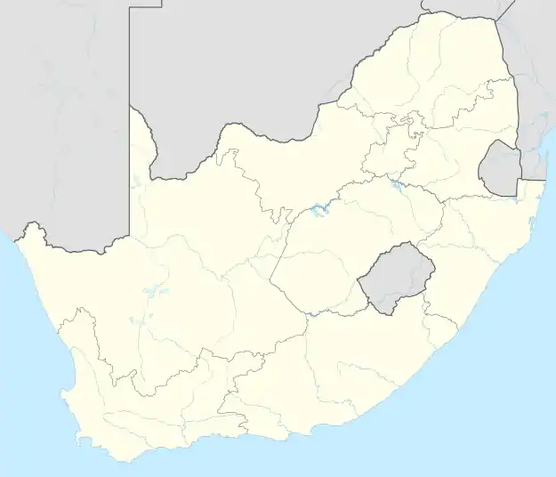 Frere | |
| Coordinates: 28°52′59″S 29°45′58″E / 28.883°S 29.766°E | |
| Country | South Africa |
| Province | KwaZulu-Natal |
| District | uThukela |
| Municipality | Inkosi Langalibalele |
| Area | |
| • Total | 9.36 km2 (3.61 sq mi) |
| Population (2011)[1] | |
| • Total | 1,215 |
| • Density | 130/km2 (340/sq mi) |
| Racial makeup (2011) | |
| • Black African | 99.8% |
| • Coloured | 0.1% |
| • Indian/Asian | 0.1% |
| • Other | 0.1% |
| First languages (2011) | |
| • Zulu | 94.9% |
| • English | 2.1% |
| • Other | 3.0% |
| Time zone | UTC+2 (SAST) |

Frere is a town in Inkosi Langalibalele Local Municipality in the KwaZulu-Natal province of South Africa. The city is named for Sir Henry Bartle Frere, Governor of Cape Colony from 1877 to 1880. The city was for a time the headquarters of Sir Redvers Buller during the Second Boer War. The town is 25 km east of Winterton.
Sources
- Erasmus, B.P.J. (1995). Op Pad in Suid-Afrika. Jonathan Ball Uitgewers. ISBN 1-86842-026-4.
References
- 1 2 3 4 "Main Place Frere". Census 2011.
Municipalities and communities of UThukela District Municipality, KwaZulu-Natal | ||
|---|---|---|
District seat: Ladysmith | ||
| Alfred Duma | .svg.png.webp) UThukela District within South Africa | |
| Inkosi Langalibalele | ||
| Okhahlamba | ||
This article is issued from Wikipedia. The text is licensed under Creative Commons - Attribution - Sharealike. Additional terms may apply for the media files.