Fruitvale, Idaho | |
|---|---|
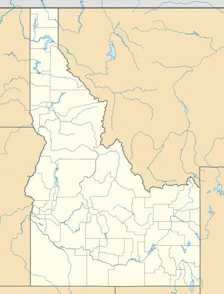 Fruitvale, Idaho Location within the state of Idaho  Fruitvale, Idaho Fruitvale, Idaho (the United States) | |
| Coordinates: 44°48′55″N 116°26′25″W / 44.81528°N 116.44028°W | |
| Country | United States |
| State | Idaho |
| County | Adams |
| Elevation | 3,081 ft (939 m) |
| Time zone | UTC-7 (Mountain (MST)) |
| • Summer (DST) | UTC-6 (MDT) |
| ZIP codes | 83612 |
| Area code(s) | 208, 986 |
| GNIS feature ID | 396522[1] |
Fruitvale is an unincorporated community in Adams County in the U.S. state of Idaho.[1] The community is located 5 mi (8.0 km) north of Council.[2]
History
Fruitvale's population was estimated at 100 in 1960.[3]
References
- 1 2 "Fruitvale, Idaho". Geographic Names Information System. United States Geological Survey, United States Department of the Interior.
- ↑ "Fruitvale, Idaho - Community Profile". RoadsideThoughts. Retrieved April 27, 2017.
- ↑ World Book Encyclopedia. Vol. I. Field Enterprises Corporation. 1960. p. 27.
Municipalities and communities of Adams County, Idaho, United States | ||
|---|---|---|
| Cities | Map of Idaho highlighting Adams County | |
| Unincorporated communities | ||
This article is issued from Wikipedia. The text is licensed under Creative Commons - Attribution - Sharealike. Additional terms may apply for the media files.