Ga-Madiba | |
|---|---|
 Ga-Madiba 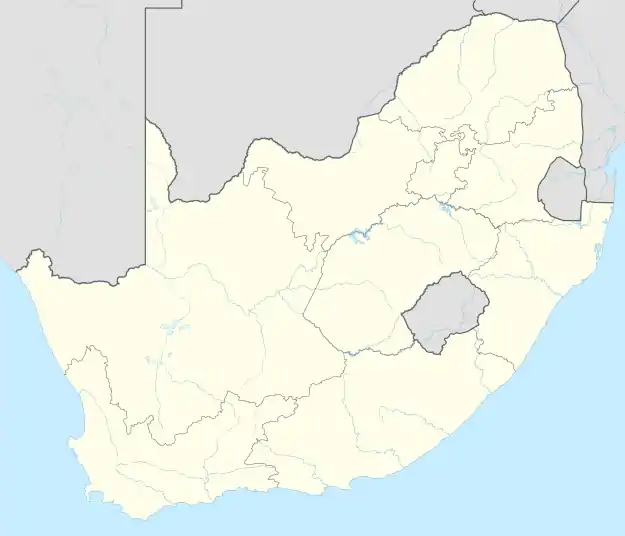 Ga-Madiba | |
| Coordinates: 24°10′52″S 29°00′29″E / 24.181°S 29.008°E | |
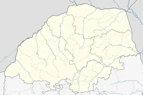
| Country | South Africa |
| Province | Limpopo |
| District | Waterberg |
| Municipality | Mogalakwena |
| Area | |
| • Total | 4.02 km2 (1.55 sq mi) |
| Population (2011)[1] | |
| • Total | 8,523 |
| • Density | 2,100/km2 (5,500/sq mi) |
| Racial makeup (2011) | |
| • Black African | 99.7% |
| • Indian/Asian | 0.1% |
| • White | 0.1% |
| First languages (2011) | |
| • Northern Sotho | 54.0% |
| • N. Ndebele | 38.3% |
| • Tsonga | 2.1% |
| • Zulu | 1.1% |
| • Other | 4.5% |
| Time zone | UTC+2 (SAST) |
Ga-Madiba is a large village in the Mogalakwena Local Municipality of the Waterberg District Municipality of the Limpopo province in South Africa. It's located just 8 km north of the town of Mokopane on the N11 road.[2]
Schools
Primary
Secondary
References
- 1 2 3 4 "Main Place Ga-Madiba". Census 2011.
- ↑ "SABC News - Ga-Madiba". Sabc.co.za. 16 September 2012. Retrieved 18 November 2016.
- ↑ "Leshoba Primary School, in Ga-Madiba, Mokopane, Limpopo". Pathfinda.com. Retrieved 18 November 2016.
- ↑ "Kgatabela Primary School, in Ga-Madiba, Mokopane, Limpopo". Pathfinda.com. Retrieved 18 November 2016.
- ↑ "Ntata secondary School in Ga-Madiba, Mokopane, Limpopo". Pathfinda.com. Retrieved 18 November 2016.
- ↑ "Kgaba secondary School in Ga-Madiba, Mokopane, Limpopo". Pathfinda.com. Retrieved 18 November 2016.
Municipalities and communities of Waterberg District Municipality, Limpopo | ||
|---|---|---|
District seat: Nylstroom (Modimolle) | ||
| Thabazimbi | .svg.png.webp) Waterberg District within South Africa | |
| Lephalale |
| |
| Modimolle–Mookgophong |
| |
| Bela-Bela |
| |
| Mogalakwena |
| |
This article is issued from Wikipedia. The text is licensed under Creative Commons - Attribution - Sharealike. Additional terms may apply for the media files.