Gada
Ta Dangani garin Chaddukal | |
|---|---|
LGA and town | |
 Gada | |
| Coordinates: 13°46′N 5°40′E / 13.767°N 5.667°E ̇ | |
| Country | |
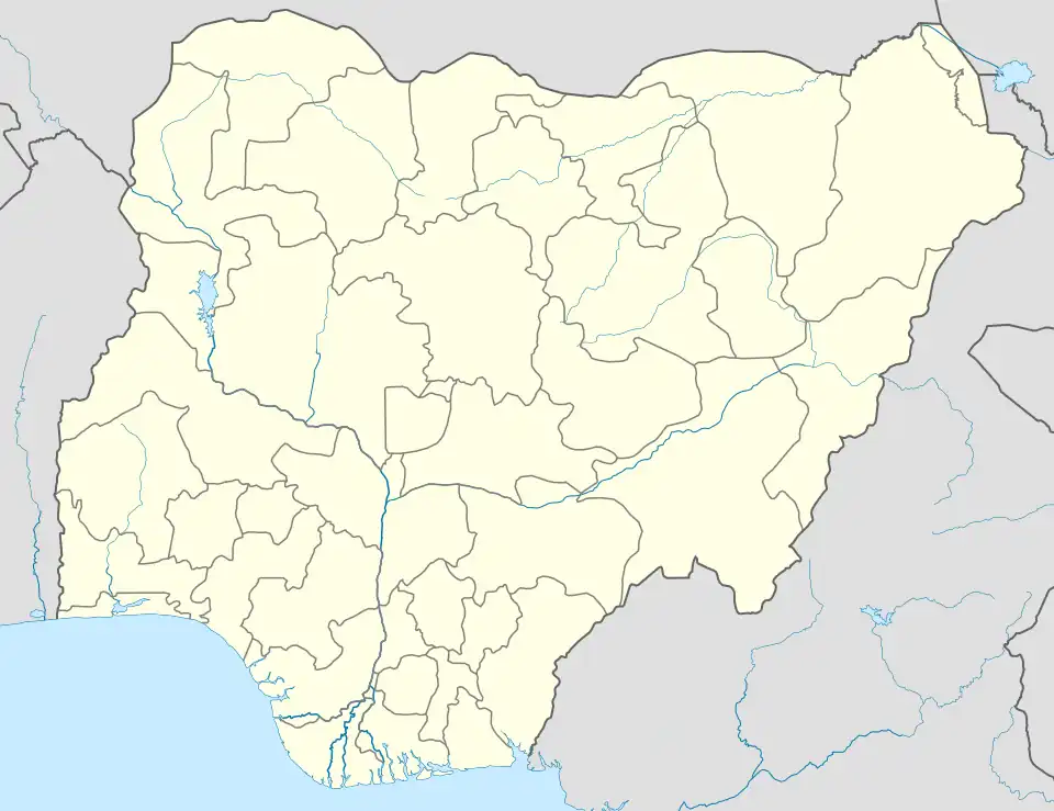
| State | Sokoto State |
| Area | |
| • Total | 1,315 km2 (508 sq mi) |
| Population (2006) | |
| • Total | 248,267 |
| Time zone | UTC+1 (WAT) |
| 3-digit postal code prefix | 843 |
| ISO 3166 code | NG.SO.GA |
Gada is one of the 23 Local Government Area in Sokoto State, Nigeria. Its headquarters are in the town of Gada. It has eleven (11) Political wards namely: Gada, Kyadawa-Holai, Ilah-Dukamaje, Gilbadi, Kaffe, Tsitse, Kadadi, Kadassaka, Kaddi, Kiri and Kwarma respectively.
Gada shares a border with the Republic of Niger to the north. It has an area of 1,315 km2 and a population of 248,267 at the 2006 census.[1]
The postal code of the area is 843.[2]
References
- ↑ HASC, population, area and Headquarters Statoids
- ↑ "Post Offices- with map of LGA". NIPOST. Archived from the original on 2009-10-07. Retrieved 2009-10-20.
State capital: Sokoto | ||
| Local Government Areas | 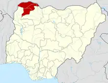 | |
Samalia mainasara moyi gada
This article is issued from Wikipedia. The text is licensed under Creative Commons - Attribution - Sharealike. Additional terms may apply for the media files.