Galenbeck | |
|---|---|
![Ruins of Burg Galenbeck [de] in Galenbeck](../I/Burgturmgalenbeck.jpg.webp) Ruins of Burg Galenbeck in Galenbeck | |
Location of Galenbeck within Mecklenburgische Seenplatte district  | |
 Galenbeck 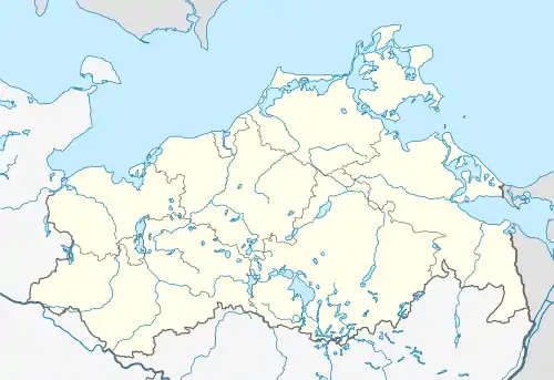 Galenbeck | |
| Coordinates: 53°38′N 13°40′E / 53.633°N 13.667°E | |
| Country | Germany |
| State | Mecklenburg-Vorpommern |
| District | Mecklenburgische Seenplatte |
| Municipal assoc. | Friedland |
| Government | |
| • Mayor | Jörn Steike |
| Area | |
| • Total | 93.56 km2 (36.12 sq mi) |
| Elevation | 15 m (49 ft) |
| Population (2021-12-31)[1] | |
| • Total | 1,065 |
| • Density | 11/km2 (29/sq mi) |
| Time zone | UTC+01:00 (CET) |
| • Summer (DST) | UTC+02:00 (CEST) |
| Postal codes | 17099 |
| Dialling codes | 039607 |
| Vehicle registration | MST |
| Website | www.friedland-mecklenburg.de |
Galenbeck is a municipality in the district Mecklenburgische Seenplatte, in Mecklenburg-Vorpommern, Germany.
References
- ↑ "Bevölkerungsstand der Kreise, Ämter und Gemeinden 2021" (XLS) (in German). Statistisches Amt Mecklenburg-Vorpommern. 2022.
This article is issued from Wikipedia. The text is licensed under Creative Commons - Attribution - Sharealike. Additional terms may apply for the media files.