Galt, Illinois | |
|---|---|
 Galt  Galt | |
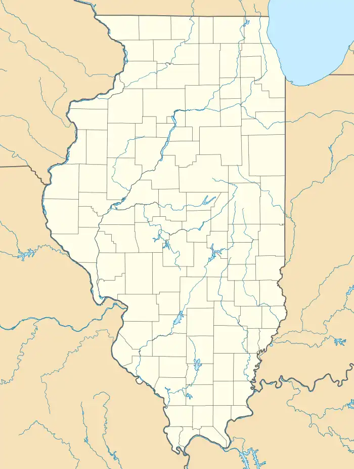
| Coordinates: 41°47′22″N 89°45′44″W / 41.78944°N 89.76222°W | |
| Country | United States |
| State | Illinois |
| County | Whiteside |
| Area | |
| • Total | 0.29 sq mi (0.76 km2) |
| • Land | 0.29 sq mi (0.76 km2) |
| • Water | 0.00 sq mi (0.00 km2) |
| Elevation | 640 ft (200 m) |
| Population (2020) | |
| • Total | 193 |
| • Density | 660.96/sq mi (255.37/km2) |
| Time zone | UTC-6 (Central (CST)) |
| • Summer (DST) | UTC-5 (CDT) |
| ZIP code | 61037 |
| Area code(s) | 815 & 779 |
| GNIS feature ID | 408859[2] |
Galt is an unincorporated community in Whiteside County, Illinois, United States. Galt is 3 miles (4.8 km) west of Sterling and has a post office with ZIP code 61037.[3]
Demographics
| Census | Pop. | Note | %± |
|---|---|---|---|
| 2020 | 193 | — | |
| U.S. Decennial Census[4] | |||
History
The community was named for John Galt, an early landowner.[5]
References
- ↑ "2020 U.S. Gazetteer Files". United States Census Bureau. Retrieved March 15, 2022.
- ↑ "US Board on Geographic Names". United States Geological Survey. October 25, 2007. Retrieved January 31, 2008.
- ↑ ZIP Code Lookup
- ↑ "Census of Population and Housing". Census.gov. Retrieved June 4, 2016.
- ↑ Chicago and North Western Railway Company (1908). A History of the Origin of the Place Names Connected with the Chicago & North Western and Chicago, St. Paul, Minneapolis & Omaha Railways. p. 75.
Municipalities and communities of Whiteside County, Illinois, United States | ||
|---|---|---|
| Cities | Map of Illinois highlighting Whiteside County | |
| Villages | ||
| Townships | ||
| CDPs | ||
| Other communities | ||
This article is issued from Wikipedia. The text is licensed under Creative Commons - Attribution - Sharealike. Additional terms may apply for the media files.