Garampani | |
|---|---|
Town | |
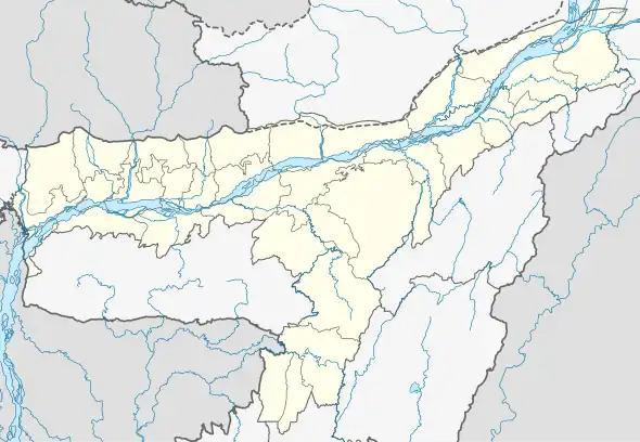 Garampani Location in Assam, India  Garampani Garampani (India) | |
| Coordinates: 26°24′0″N 93°52′0″E / 26.40000°N 93.86667°E | |
| Country | |
| State | Assam |
| District | Karbi Anglong |
| Elevation | 117 m (384 ft) |
| Languages | |
| • Official | Assamese |
| Time zone | UTC+5:30 (IST) |
| PIN | 788931 |
| Vehicle registration | AS |
| Coastline | 0 kilometres (0 mi) |
Garampani is a town in Golaghat district, Assam, India.
Geography
It is located at an elevation of 117 m above MSL.[1]
Location
National Highway 39 passes through Garampani. It is 25 km south of Golaghat.
Places of interest
References
- ↑ http://www.fallingrain.com/world/IN/3/Garampani.html Map and weather of Garampani
External links
This article is issued from Wikipedia. The text is licensed under Creative Commons - Attribution - Sharealike. Additional terms may apply for the media files.