Garbaharey Airport Gegada Diyaaradaha Gerbohaareey | |||||||||||
|---|---|---|---|---|---|---|---|---|---|---|---|
| Summary | |||||||||||
| Airport type | Public | ||||||||||
| Owner | Somali Civil Aviation Authority | ||||||||||
| Operator | Garbahaareey | ||||||||||
| Serves | Garbahaareey, Somalia | ||||||||||
| Elevation AMSL | 755 ft / 230 m | ||||||||||
| Coordinates | 03°19′22″N 042°12′47″E / 3.32278°N 42.21306°E | ||||||||||
| Map | |||||||||||
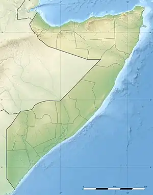 GBM Location of airport in Somalia | |||||||||||
| Runways | |||||||||||
| |||||||||||
Source:[1] | |||||||||||
Garbaharey Airport (IATA: GBM[2]) is an airport serving Garbaharey[1][3] (also spelled Garbahaareey), the capital city of the Gedo region in Somalia.
Facilities
The airport has one runway which is 1,050 metres (3,445 ft) long.[1]
References
- 1 2 3 Airport information for Garba Harre, Somalia (GBM) at Great Circle Mapper.
- ↑ "IATA Airport Code Search (GBM: Garbaharey)". International Air Transport Association. Retrieved 23 September 2013.
- ↑ Garbaharey Airport at World-Airport-Codes.com
External links
- Aeronautical chart at SkyVector
- Accident history for GBM at Aviation Safety Network
This article is issued from Wikipedia. The text is licensed under Creative Commons - Attribution - Sharealike. Additional terms may apply for the media files.