Garrett, Kentucky | |
|---|---|
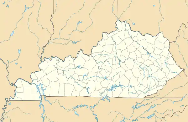
 Front street in Garrett | |
 Garrett Location within the state of Kentucky  Garrett Garrett (the United States) | |
| Coordinates: 37°28′47″N 82°49′54″W / 37.47972°N 82.83167°W | |
| Country | United States |
| State | Kentucky |
| County | Floyd |
| Elevation | 876 ft (267 m) |
| Time zone | UTC-5 (Eastern (EST)) |
| • Summer (DST) | UTC-4 (EST) |
| ZIP codes | 41630 |
| GNIS feature ID | 492717[1] |
Garrett is an unincorporated community and coal town in Floyd County, Kentucky, United States. It is located at the intersection of Kentucky Route 80 and Kentucky Route 7. CSX E&BV Subdivision also passes through the center of town between Front Street and State Route 7.
The town was founded by the Elk Horn Coal Company.
A post office was established in 1910 and named "Ballard". In 1914 the name was changed to Garrett, for brothers John and Robert Garrett, both Baltimore bankers and coal company financiers.[2]
Between July 26 and July 28 the nearby town of Jackson, KY recorded 8 inches of precipitation leading to widespread destruction and loss of life in and around Garrett.
References
- ↑ U.S. Geological Survey Geographic Names Information System: Garrett, Floyd County, Kentucky
- ↑ Rennick, Robert M. (1984). Kentucky Place Names. University Press of Kentucky. ISBN 0813126312.
Municipalities and communities of Floyd County, Kentucky, United States | ||
|---|---|---|
| Cities | 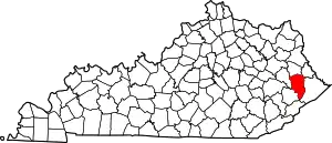 Location of Floyd County, Kentucky | |
| CDPs | ||
| Other unincorporated communities |
| |
| Footnotes | ‡This populated place also has portions in an adjacent county or counties. | |
This article is issued from Wikipedia. The text is licensed under Creative Commons - Attribution - Sharealike. Additional terms may apply for the media files.