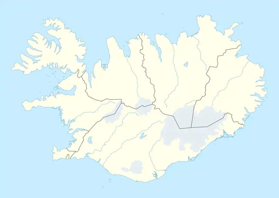
(For the other Icelandic island named Geirfuglasker, located near the (Reykjanes) peninsula, please see Geirfuglasker)
Native name: Geirfuglasker | |
|---|---|
 | |
 Geirfuglasker | |
| Geography | |
| Location | Atlantic Ocean |
| Coordinates | 63°19′N 20°30′W / 63.32°N 20.50°W |
| Archipelago | Vestmannaeyjar |
| Area | 19,034.84 m2 (204,889.3 sq ft) |
| Coastline | 574.75 m (1885.66 ft) |
| Administration | |
| Constituency | Suðurkjördæmi |
| Region | Suðurland |
| Municipality | Vestmannaeyjar |
| Capital and largest city | Reykjavík (pop. 123 246) |
| President | Guðni Th. Jóhannesson |
| Demographics | |
| Population | 0 |
| Pop. density | 0/km2 (0/sq mi) |
| Additional information | |
| Time zone |
|
Geirfuglasker (Icelandic pronunciation: [ˈceirˌfʏklaˌscɛːr̥] ⓘ, "great auk skerry") or Freykja [ˈfreiːca] is a small, uninhabited island in the Vestmannaeyjar archipelago.
This article is issued from Wikipedia. The text is licensed under Creative Commons - Attribution - Sharealike. Additional terms may apply for the media files.