Gerverscop | |
|---|---|
Hamlet | |
 | |
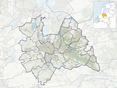 Gerverscop Location in the Netherlands 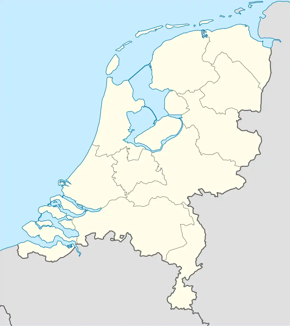 Gerverscop Gerverscop (Netherlands) | |
| Coordinates: 52°06′58″N 4°56′58″E / 52.11611°N 4.94944°E | |
| Country | Netherlands |
| Province | Utrecht |
| Municipality | Woerden |
| Area | |
| • Total | 7.36 km2 (2.84 sq mi) |
| Population (2007)[1] | |
| • Total | 255 |
| • Density | 35/km2 (90/sq mi) |
| Time zone | UTC+1 (CET) |
| • Summer (DST) | UTC+2 (CEST) |
| Postal code | 3481[1] |
| Dialing code | 0348 |
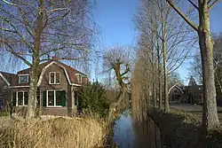
Gerverscop is a hamlet in the Dutch province of Utrecht. It is a part of the municipality of Woerden, and lies about 5 km northeast of Woerden. Until 1857, it was a separate municipality; it then was joined to the municipality of Harmelen.[2]
The former municipality consisted of the polders Gerverscop and Breudijk, north of Harmelen. In the 19th century, it had about 160 inhabitants, 120 of which in the polder Gerverscop.[3]
The hamlet was first mentioned between 1280 and 1287 as Gherverscoep, and means "concession of Gerver (person)".[4] Gerverscop has no place name signs.[5]
Gallery
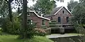 Pumping station Gerverscop
 Gerverscop
References
- 1 2 3 "Kerncijfers wijken en buurten 2021". Central Bureau of Statistics. Retrieved 26 March 2022.
two entries
- ↑ Ad van der Meer and Onno Boonstra, Repertorium van Nederlandse gemeenten, KNAW, 2011.
- ↑ Abraham Jacob van der Aa, "Aardrijkskundig woordenboek der Nederlanden", vol. 4 (E-G), 1843.
- ↑ "Gerverscop - (geografische naam)". Etymologiebank (in Dutch). Retrieved 26 March 2022.
- ↑ "Gerverscop". Plaatsengids (in Dutch). Retrieved 26 March 2022.
This article is issued from Wikipedia. The text is licensed under Creative Commons - Attribution - Sharealike. Additional terms may apply for the media files.