Ghanpokhara
घनपोखरी | |
|---|---|
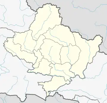 Ghanpokhara Location in Nepal 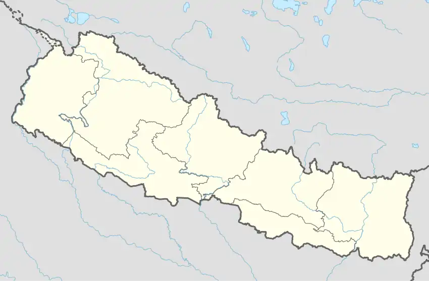 Ghanpokhara Ghanpokhara (Nepal) | |
| Coordinates: 28°20′N 84°19′E / 28.33°N 84.31°E | |
| Country | |
| Zone | Gandaki Zone |
| District | Lamjung District |
| Population (1991) | |
| • Total | 3,168 |
| Time zone | UTC+5:45 (Nepal Time) |
Ghanpokhara is a village development committee in Lamjung District in the Gandaki Zone of northern-central Nepal. In 1991, it had a population of 3168 living in 597 individual households.[1] It lies 1.6 kilometres (0.99 mi) north of the tourist destination Ghalegaun.[2]
References
- ↑ "Nepal Census 2001", Nepal's Village Development Committees, Digital Himalaya, archived from the original on 12 October 2008, retrieved 15 November 2009.
- ↑ "Ghale Gaun". Google Maps. Retrieved 8 July 2023.
External links

This article is issued from Wikipedia. The text is licensed under Creative Commons - Attribution - Sharealike. Additional terms may apply for the media files.