Giershausen | |
|---|---|
Location of Giershausen within Altenkirchen (Westerwald) district 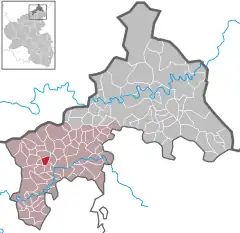 | |
 Giershausen 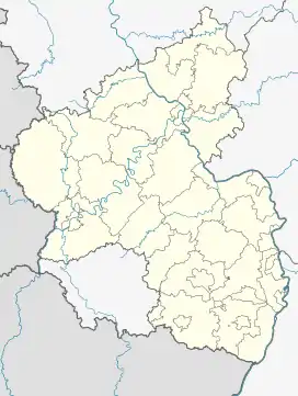 Giershausen | |
| Coordinates: 50°40′52″N 7°32′46″E / 50.68111°N 7.54611°E | |
| Country | Germany |
| State | Rhineland-Palatinate |
| District | Altenkirchen (Westerwald) |
| Municipal assoc. | Altenkirchen-Flammersfeld |
| Area | |
| • Total | 2.11 km2 (0.81 sq mi) |
| Elevation | 275 m (902 ft) |
| Population (2021-12-31)[1] | |
| • Total | 99 |
| • Density | 47/km2 (120/sq mi) |
| Time zone | UTC+01:00 (CET) |
| • Summer (DST) | UTC+02:00 (CEST) |
| Postal codes | 57632 |
| Dialling codes | 02685 |
| Vehicle registration | AK |
| Website | vg-altenkirchen-flammersfeld.de |
Giershausen is a municipality in the district of Altenkirchen, in Rhineland-Palatinate, in western Germany.
References
This article is issued from Wikipedia. The text is licensed under Creative Commons - Attribution - Sharealike. Additional terms may apply for the media files.