Giresun District | |
|---|---|
 Map showing Giresun District in Giresun Province | |
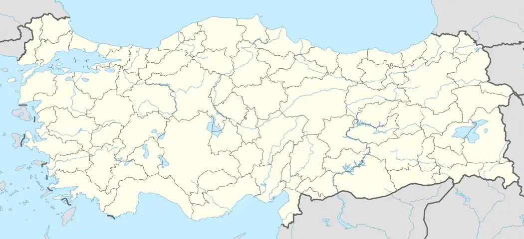 Giresun District Location in Turkey | |
| Coordinates: 40°54′N 38°23′E / 40.900°N 38.383°E | |
| Country | Turkey |
| Province | Giresun |
| Seat | Giresun |
| Area | 376 km2 (145 sq mi) |
| Population (2022) | 145,361 |
| • Density | 390/km2 (1,000/sq mi) |
| Time zone | TRT (UTC+3) |
Giresun District (also: Merkez, meaning "central" in Turkish) is a district of the Giresun Province of Turkey. Its seat is the city of Giresun.[1] Its area is 376 km2,[2] and its population is 145,361 (2022).[3]
Composition
There are two municipalities in Giresun District:[1][4]
There are 53 villages in Giresun District:[5]
- Akçalı
- Akıncı
- Akköy
- Alınca
- Anbaralan
- Barça
- Barçaçakırlı
- Bayazıt
- Boztekke
- Burhaniye
- Camili
- Çamlık
- Çandır
- Çavuşoğlu
- Çiçekli
- Çimşir
- Çukurköy
- Darıköy
- Ergence
- Eriklimanı
- Esentepe
- Evrenköy
- Gedikli
- Güney
- Gürköy
- Güveç
- Hamidiye
- Hisargeriş
- İncegeriş
- İnişdibi
- Karaali
- Kemaliye
- Lapa
- Melikli
- Mesudiye
- Okçu
- Orhaniye
- Ortaköy
- Osmaniye
- Pınarçukuru
- Sarvan
- Sayca
- Seyitköy
- Sıvacı
- Sultaniye
- Ülper
- Uzgur
- Uzkara
- Yağmurca
- Yaykınlık
- Yazlık
- Yenicehisar
- Yukarıalınlı
References
- 1 2 İl Belediyesi, Turkey Civil Administration Departments Inventory. Retrieved 1 March 2023.
- ↑ "İl ve İlçe Yüz ölçümleri". General Directorate of Mapping. Retrieved 1 March 2023.
- ↑ "Address-based population registration system (ADNKS) results dated 31 December 2022, Favorite Reports" (XLS). TÜİK. Retrieved 13 March 2023.
- ↑ Belde Belediyesi, Turkey Civil Administration Departments Inventory. Retrieved 1 March 2023.
- ↑ Köy, Turkey Civil Administration Departments Inventory. Retrieved 1 March 2023.
Giresun District in Giresun Province of Turkey | |||||||||||||||||||||||||||
|---|---|---|---|---|---|---|---|---|---|---|---|---|---|---|---|---|---|---|---|---|---|---|---|---|---|---|---|
| Districts | 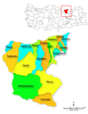 Districts of Giresun | ||||||||||||||||||||||||||
| |||||||||||||||||||||||||||
Metropolitan municipalities are bolded. | |||||||||||||||||||||||||||
| Municipalities | |
|---|---|
| Villages |
|
This article is issued from Wikipedia. The text is licensed under Creative Commons - Attribution - Sharealike. Additional terms may apply for the media files.