Gleibat El Foula | |
|---|---|
Rural commune and town | |
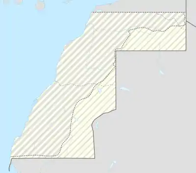 Gleibat El Foula Location in Western Sahara | |
| Coordinates: 23°30′59″N 14°12′20″W / 23.5163°N 14.2056°W | |
| Territory | Western Sahara |
| Claimed by | |
| Region | Dakhla-Oued Ed-Dahab |
| Province | Oued Ed-Dahab |
| Area | |
| • Total | 162.13 km2 (62.6 sq mi) |
| Population (2004) | |
| • Total | 2,973 |
| • Density | 18/km2 (47/sq mi) |
| Time zone | UTC+0 (WET) |
| • Summer (DST) | UTC+1 (WEST) |
Gleibat El Foula is a town in the disputed territory of Western Sahara. It is administered by Morocco as a rural commune in Oued Ed-Dahab Province in the region of Dakhla-Oued Ed-Dahab. At the time of the 2004 census, the commune had a total population of 2973 people living in 42 households.[1]
References
- ↑ "Recensement général de la population et de l'habitat de 2004" (PDF). Haut-commissariat au Plan, Lavieeco.com. Archived from the original (PDF) on July 24, 2012. Retrieved 17 June 2012.
Capital: Dakhla | ||
| Municipalities | ||
| Rural communes | ||
This article is issued from Wikipedia. The text is licensed under Creative Commons - Attribution - Sharealike. Additional terms may apply for the media files.