Gorenja Vas pri Mokronogu | |
|---|---|
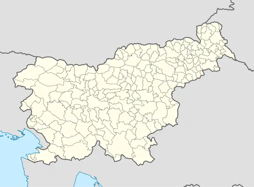 Gorenja Vas pri Mokronogu Location in Slovenia | |
| Coordinates: 45°56′14.62″N 15°7′20.56″E / 45.9373944°N 15.1223778°E | |
| Country | |
| Traditional region | Lower Carniola |
| Statistical region | Southeast Slovenia |
| Municipality | Mokronog-Trebelno |
| Area | |
| • Total | 1.52 km2 (0.59 sq mi) |
| Elevation | 250.3 m (821.2 ft) |
| Population (2002) | |
| • Total | 16 |
| [1] | |
Gorenja Vas pri Mokronogu (pronounced [ɡɔˈɾeːnja ˈʋaːs pɾi mɔˈkɾoːnɔɡu]; Slovene: Gorenja vas pri Mokronogu, German: Oberdorf[2]) is a small settlement just west of Mokronog in the Municipality of Mokronog-Trebelno in southeastern Slovenia. The municipality is included in the Southeast Slovenia Statistical Region and is part of the traditional region of Lower Carniola.[3]
Name
The name of the settlement was changed from Gorenja vas to Gorenja vas pri Mokronogu in 1953.[4]
References
- ↑ Statistical Office of the Republic of Slovenia
- ↑ Leksikon občin kraljestev in dežel zastopanih v državnem zboru, vol. 6: Kranjsko. 1906. Vienna: C. Kr. Dvorna in Državna Tiskarna, p. 80.
- ↑ Mokronog-Trebelno municipal website
- ↑ Spremembe naselij 1948–95. 1996. Database. Ljubljana: Geografski inštitut ZRC SAZU, DZS.
External links
 Media related to Gorenja Vas pri Mokronogu at Wikimedia Commons
- Gorenja Vas pri Mokronogu on Geopedia

This article is issued from Wikipedia. The text is licensed under Creative Commons - Attribution - Sharealike. Additional terms may apply for the media files.