Gralhas | |
|---|---|
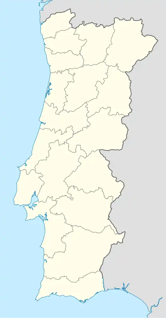 Gralhas Location in Portugal | |
| Coordinates: 41°50′56″N 7°42′18″W / 41.849°N 7.705°W | |
| Country | |
| Region | Norte |
| Intermunic. comm. | Alto Tâmega |
| District | Vila Real |
| Municipality | Montalegre |
| Area | |
| • Total | 21.59 km2 (8.34 sq mi) |
| Population (2011) | |
| • Total | 208 |
| • Density | 9.6/km2 (25/sq mi) |
| Time zone | UTC±00:00 (WET) |
| • Summer (DST) | UTC+01:00 (WEST) |
Gralhas is a parish and village in Montalegre Municipality, northern Portugal. The population in 2011 was 208,[1] in an area of 21.59 km2.[2][3]
It is located at the base of Serra do Larouco ("Mountain Range of the Larouco").
References
- ↑ Instituto Nacional de Estatística
- ↑ Eurostat Archived 7 October 2012 at the Wayback Machine
- ↑ Instituto Geográfico Português (2012). "Carta Administrativa Oficial de Portugal: Áreas das freguesias, municípios e distritos da CAOP2012.1" (in Portuguese). Portugal. Retrieved 8 October 2012.
This article is issued from Wikipedia. The text is licensed under Creative Commons - Attribution - Sharealike. Additional terms may apply for the media files.