| Greenhill Divide | |
|---|---|
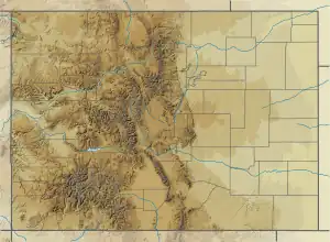 Location of Greenhill Divide within Colorado | |
| Elevation | 9,347 ft (2,849 m)[1] |
| Traversed by | Colorado State Highway 165 |
| Location | Custer County, Colorado |
| Coordinates | 38°01′42″N 105°04′51″W / 38.0283392°N 105.0808253°W |
| Topo map | Saint Charles Peak |
Greenhill Divide is a wind gap located in the San Isabel National Forest in the U.S. state of Colorado. It is located by the intersection of Colorado State Highway 165 and Colorado State Highway 78.
References
This article is issued from Wikipedia. The text is licensed under Creative Commons - Attribution - Sharealike. Additional terms may apply for the media files.