Guaitil | |
|---|---|
Guaitil district | |
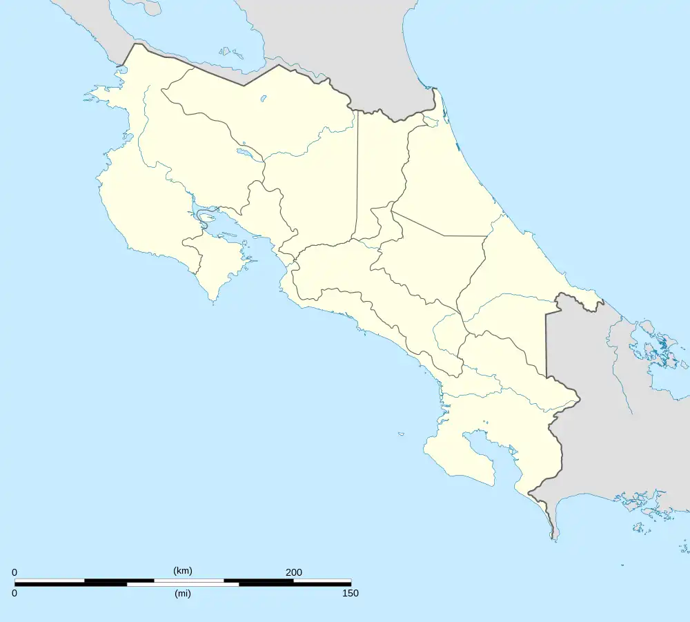 Guaitil Guaitil district location in Costa Rica | |
| Coordinates: 9°47′32″N 84°15′11″W / 9.7923489°N 84.2531041°W | |
| Country | |
| Province | San José |
| Canton | Acosta |
| Area | |
| • Total | 43.85 km2 (16.93 sq mi) |
| Elevation | 1,030 m (3,380 ft) |
| Population (2011) | |
| • Total | 2,406 |
| • Density | 55/km2 (140/sq mi) |
| Time zone | UTC−06:00 |
| Postal code | 11202 |
Guaitil is a district of the Acosta canton, in the San José province of Costa Rica.[1][2]
Geography
Guaitil has an area of 43.85 km2[3] and an elevation of 1,030 metres.[1]
The southern boundary of the district is the Grande de Candelaria River, and the northern boundary is the Jorco River.[4]
Communities
Within Guaitil District are the villages of Coyolar, La Cruz, Ococa, and Toledo.[4]
Demographics
| Historical population | |||
|---|---|---|---|
| Census | Pop. | %± | |
| 1883 | 507 | — | |
| 1892 | 474 | −6.5% | |
| 1927 | 1,515 | 219.6% | |
| 1950 | 2,430 | 60.4% | |
| 1963 | 2,368 | −2.6% | |
| 1973 | 2,265 | −4.3% | |
| 1984 | 2,196 | −3.0% | |
| 2000 | 2,555 | 16.3% | |
| 2011 | 2,406 | −5.8% | |
|
Instituto Nacional de Estadística y Censos[5] |
|||
For the 2011 census, Guaitil had a population of 2,406 inhabitants. [7]
Transportation
Road transportation
The district is covered by the following road routes:
References
- 1 2 "Declara oficial para efectos administrativos, la aprobación de la División Territorial Administrativa de la República N°41548-MGP". Sistema Costarricense de Información Jurídica (in Spanish). 19 March 2019. Retrieved 26 September 2020.
- ↑ División Territorial Administrativa de la República de Costa Rica (PDF) (in Spanish). Editorial Digital de la Imprenta Nacional. 8 March 2017. ISBN 978-9977-58-477-5.
- ↑ "Área en kilómetros cuadrados, según provincia, cantón y distrito administrativo". Instituto Nacional de Estadística y Censos (in Spanish). Retrieved 26 September 2020.
- 1 2 "Acosta Map" Instituto de Fomento y Asesoría Municipal, 1985
- ↑ "Instituto Nacional de Estadística y Censos" (in Spanish).
- ↑ "Sistema de Consulta de a Bases de Datos Estadísticas". Centro Centroamericano de Población (in Spanish).
- ↑ "Censo. 2011. Población total por zona y sexo, según provincia, cantón y distrito". Instituto Nacional de Estadística y Censos (in Spanish). Retrieved 26 September 2020.
This article is issued from Wikipedia. The text is licensed under Creative Commons - Attribution - Sharealike. Additional terms may apply for the media files.