Guaraçaí | |
|---|---|
 Flag  Coat of arms | |
| Etymology: coaracy (Sun)[1][2] | |
| Nicknames: | |
| Anthem: Hino a Guaraçaí | |
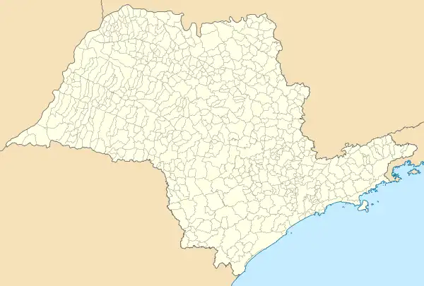
Interactive map outlining Guaraçaí | |
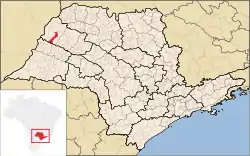 Location within the State of São Paulo | |
 Guaraçaí Location within the State of São Paulo 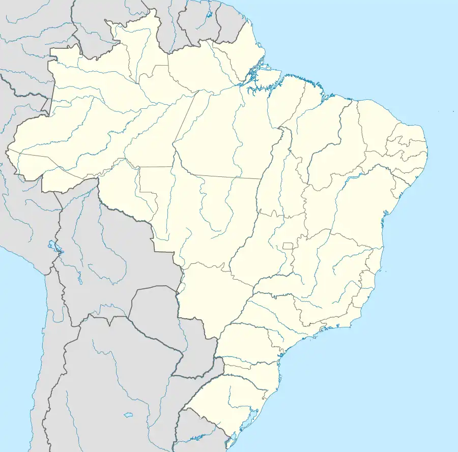 Guaraçaí Location within Brazil  Guaraçaí Location within South America | |
| Coordinates: 21°1′42″S 51°12′24″W / 21.02833°S 51.20667°W | |
| Country | |
| Region | Southeast |
| State | |
| Mesoregion | Araçatuba |
| Microregion | Andradina |
| Incorporated | 24 December 1948[3] |
| Founded by | João Machado de Souza[1][2] |
| Named for | Moldenhawera floribunda[1] |
| Government | |
| • Type | Mayor–council |
| • Mayor | Nelson Kazumi Tanaka (Cidadania) |
| • Municipal Chamber | Councilors |
| Area | |
| • Municipality | 569.197 km2 (219.768 sq mi) |
| • Rank | 2,246th, Brazil |
| Elevation | 440.22 m (1,444.29 ft) |
| Population | |
| • Municipality | 8,435 |
| • Estimate (2020)[7] | 8,290 |
| • Rank | 3,277th, Brazil |
| • Density | 14.80/km2 (38.3/sq mi) |
| • Urban | 6,654 |
| • Rural | 1,781 |
| Demonym | guaraçaiense[7][11] |
| Ethnicity | |
| • White | 60.12% (5,071 inhabitants) |
| • Pardo | 32.77% (2,764 inhabitants) |
| • Black | 3.84% (324 inhabitants) |
| • Yellow | 3.27% (276 inhabitants) |
| Time zone | UTC−3 (BRT) |
| Postal codes | 16980-000 |
| Area code | 18[13] |
| HDI (2010)[14] | 0.719 – high |
| Website | Official website |
Guaraçaí is a municipality in the state of São Paulo in Brazil. Its estimated population is of 8,290 inhabitants (as of 2020) in an area of 569.197 km2 (220 sq mi)[7] and its elevation is of 440.22 m (1,444 ft) above the sea level.[8]
The municipality contains 32.46% of the 9,044 hectares (22,350 acres) from the Aguapeí State Park, created in 1998.[15]
References
- 1 2 3 4 "História do Município" [Municipality History]. Prefeitura Municipal de Guaraçaí [Guaraçaí City Hall] (in Portuguese). Webline Sistemas. Retrieved 22 December 2020.
- 1 2 "IBGE | Cidades@ | São Paulo | Guaraçaí | História & Fotos" [IBGE | Cities@ | São Paulo | Guaraçaí | History & Photos]. Instituto Brasileiro de Geografia e Estatística [Brazilian Institute of Geography and Statistics] (in Portuguese). Retrieved 22 December 2020.
- ↑ "LEI N. 233, DE 24 DE DEZEMBRO DE 1948" [LAW NO. 233, OF 24 DECEMBER 1948]. Assembleia Legislativa do Estado de São Paulo [Legislative Assembly of the State of São Paulo] (in Portuguese). Retrieved 10 January 2014.
The municipality of Guaraçaí is created with seat in the village of the same name and with the lands of the district of the same name.
- ↑ "Prefeito(a)" [Mayor]. Prefeitura Municipal de Guaraçaí [Guaraçaí City Hall] (in Portuguese). Webline Sistemas. Retrieved 22 December 2020.
- ↑ "VEREADORES" [COUNCILORS]. Câmara Municipal de Guaraçaí [Municipal Chamber of Guaraçaí] (in Portuguese). Webline Sistemas. Retrieved 22 December 2020.
- ↑ "Guaraçaí (SP) | Cities and States | IBGE". Instituto Brasileiro de Geografia e Estatística [Brazilian Institute of Geography and Statistics]. Retrieved 21 December 2020.
- 1 2 3 4 5 "IBGE | Cidades@ | São Paulo | Guaraçaí | Panorama" [IBGE | Cities@ | São Paulo | Guaraçaí | Panorama]. Instituto Brasileiro de Geografia e Estatística [Brazilian Institute of Geography and Statistics] (in Portuguese). Retrieved 22 December 2020.
- 1 2 "BR Localidades 2010 v1" [BR Locations 2010 v1] (MDB). Instituto Brasileiro de Geografia e Estatística [Brazilian Institute of Geography and Statistics] (in Portuguese). Retrieved 24 August 2016.
- ↑ "CENSO 2010 – SÃO PAULO" [2010 CENSUS – SÃO PAULO] (PDF). Instituto Brasileiro de Geografia e Estatística [Brazilian Institute of Geography and Statistics] (in Portuguese). Archived from the original (PDF) on 24 January 2011. Retrieved 22 December 2020.
- 1 2 "IBGE | Cidades@ | São Paulo | Guaraçaí | Pesquisa | Censo | Sinopse" [IBGE | Cities@ | São Paulo | Guaraçaí | Research | Census | Synopsis]. Instituto Brasileiro de Geografia e Estatística [Brazilian Institute of Geography and Statistics] (in Portuguese). Retrieved 21 December 2020.
- ↑ "Dicionário Online - Dicionário Caldas Aulete - Significado de guaraçaiense" [Online Dictionary - Caldas Aulete Dictionary - Meaning of guaraçaiense]. iDicionário Aulete [iDictionary Aulete] (in Portuguese). Lexikon Editora Digital. Retrieved 22 December 2020.
- ↑ "Tabela 2093 – População residente por cor ou raça, sexo, situação do domicílio e grupos de idade – Amostra – Características Gerais da População" [Table 2093 – Resident population by color or race, sex, state of domicile and age groups – Sample – General Characteristics of the Population]. Sistema IBGE de Recuperação Automática [Brazilian Institute of Geography and Statistics System of Automatic Recovery] (in Portuguese). Retrieved 20 December 2020.
- ↑ "CÓDIGOS DE SÃO PAULO" [SÃO PAULO CODES] (PDF). Agência Nacional de Telecomunicações [National Agency of Telecommunications] (in Portuguese). Retrieved 23 December 2020.
- ↑ "Ranking IDHM Municípios 2010" [MHDI Ranking Municipalities 2010]. Programa das Nações Unidas para o Desenvolvimento Brasil [United Nations Development Programme Brazil] (in Portuguese). Retrieved 23 December 2020.
- ↑ "Parque Estadual do Aguapeí" [Aguapeí State Park]. Unidades de Conservação no Brasil [Conservation Areas in Brazil]. Instituto Socioambiental. Retrieved 22 February 2020.
This article is issued from Wikipedia. The text is licensed under Creative Commons - Attribution - Sharealike. Additional terms may apply for the media files.