 Haig-Thomas Island 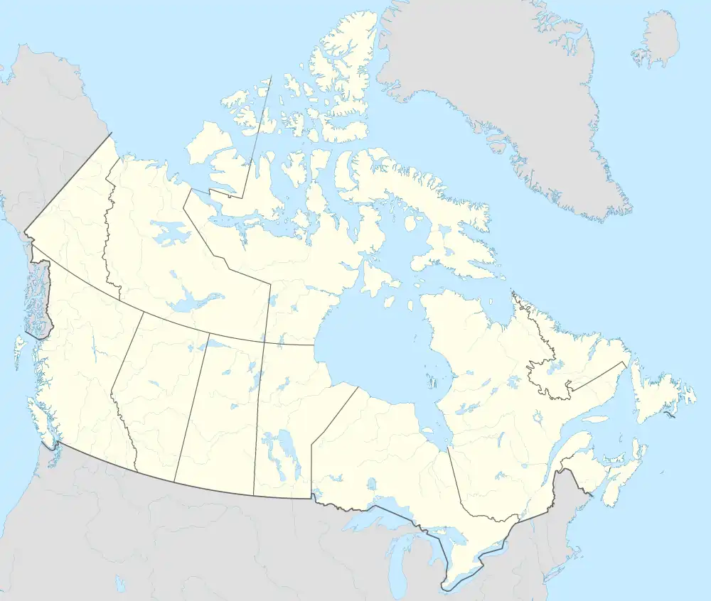 Haig-Thomas Island | |
| Geography | |
|---|---|
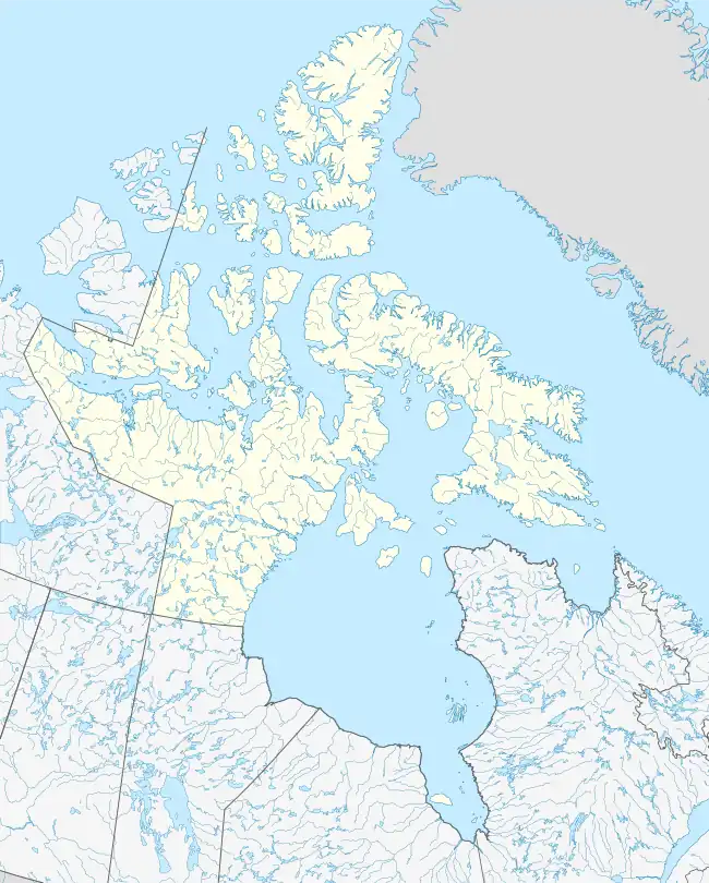
| Location | Massey Sound |
| Coordinates | 78°15′N 094°30′W / 78.250°N 94.500°W / 78.250; -94.500 (Haig-Thomas Island) |
| Archipelago | Sverdrup Islands Queen Elizabeth Islands Arctic Archipelago |
| Administration | |
Canada | |
| Territory | Nunavut |
| Region | Qikiqtaaluk |
| Demographics | |
| Population | Uninhabited |
Haig-Thomas Island is one of the Sverdrup Islands in Qikiqtaaluk Region, Nunavut, Canada. It is located in Massey Sound, between Amund Ringnes Island and Axel Heiberg Island. It is also a member of the Queen Elizabeth Islands and the Arctic Archipelago. It is named for the British explorer David Haig-Thomas who charted it in 1938.
External links
- Haig-Thomas Island in the Atlas of Canada - Toporama; Natural Resources Canada
Arctic Cordillera of Canada | |
|---|---|
| Ranges |
|
| Mountains | |
| Passes | |
| Glaciers | |
| Regions | |
| Communities | |
| Parks | |
Islands of the Qikiqtaaluk Region | |||||||||
|---|---|---|---|---|---|---|---|---|---|
| |||||||||
| Belcher Islands | |||||||||
| Islands of Cumberland Sound |
| ||||||||
| Islands of Davis Strait | |||||||||
| Islands of Foxe Basin | |||||||||
| Islands of Frobisher Bay |
| ||||||||
| Islands of the Gulf of Boothia | |||||||||
| Islands of Hudson Bay | |||||||||
| Islands of Hudson Strait |
| ||||||||
| Islands of James Bay | |||||||||
| Islands of the Labrador Sea | |||||||||
| Queen Elizabeth Islands |
| ||||||||
See also Islands of the Kitikmeot Region, Islands of the Kivalliq Region. | |||||||||
| Authority control databases |
|---|
This article is issued from Wikipedia. The text is licensed under Creative Commons - Attribution - Sharealike. Additional terms may apply for the media files.