Hampton, Kentucky | |
|---|---|
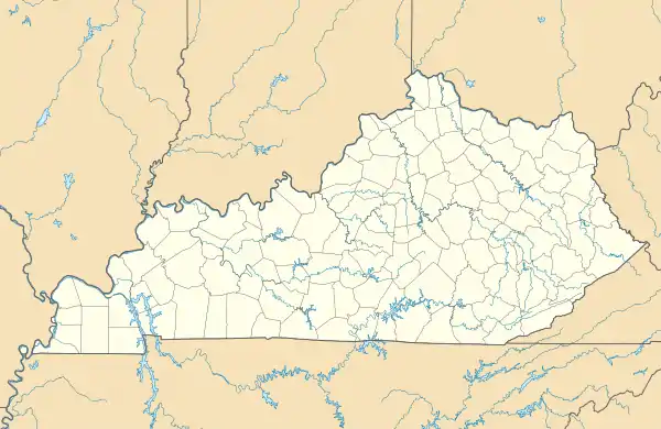 Hampton Location in Kentucky  Hampton Location in the United States | |
| Coordinates: 37°16′48″N 88°22′25″W / 37.28000°N 88.37361°W | |
| Country | United States |
| State | Kentucky |
| County | Livingston |
| Elevation | 541 ft (165 m) |
| Time zone | UTC-6 (Central (CST)) |
| • Summer (DST) | UTC-5 (CST) |
| ZIP codes | 42047 |
| GNIS feature ID | 2629625[1] |
Hampton is an unincorporated community in northern Livingston County, Kentucky, United States. The community is on Kentucky Route 135 approximately 13 miles south of Carrsville and the Ohio River.[2]
References
- 1 2 U.S. Geological Survey Geographic Names Information System: Hampton, Kentucky
- ↑ Kentucky Atlas & Gazetteer, DeLorme, 4th ed. 2010, p. 60 ISBN 0899333400
Municipalities and communities of Livingston County, Kentucky, United States | ||
|---|---|---|
| Cities |  Location of Livingston County, Kentucky | |
| CDP | ||
| Unincorporated community | ||
This article is issued from Wikipedia. The text is licensed under Creative Commons - Attribution - Sharealike. Additional terms may apply for the media files.