Herkale Airport | |||||||||||
|---|---|---|---|---|---|---|---|---|---|---|---|
| Summary | |||||||||||
| Airport type | Public | ||||||||||
| Operator | Directorate of Civil Aviation and Meteorology | ||||||||||
| Serves | Khôr ‘Angar, Djibouti | ||||||||||
| Elevation AMSL | 38 ft / 12 m | ||||||||||
| Coordinates | 12°26′30″N 43°17′30″E / 12.44167°N 43.29167°E | ||||||||||
| Map | |||||||||||
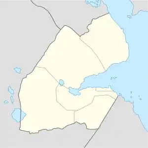 HDHE Location of the airport in Djibouti | |||||||||||
| Runways | |||||||||||
| |||||||||||
Source: GCM[1] | |||||||||||
Herkale Airport (ICAO: HDHE) is an airstrip 7 kilometres (4 mi) northwest of the hamlet of Khôr ‘Angar in Djibouti. Khôr ‘Angar is by the Bab-el-Mandeb strait, the entrance to the Red Sea.
See also
References
- ↑ Airport information for Herkale Airport at Great Circle Mapper.
External links
- OurAirports - Herkale Airport
- FallingRain - Herkale Airport
- Accident history for HDHE at Aviation Safety Network
This article is issued from Wikipedia. The text is licensed under Creative Commons - Attribution - Sharealike. Additional terms may apply for the media files.