| Higher Boscaswell | |
|---|---|
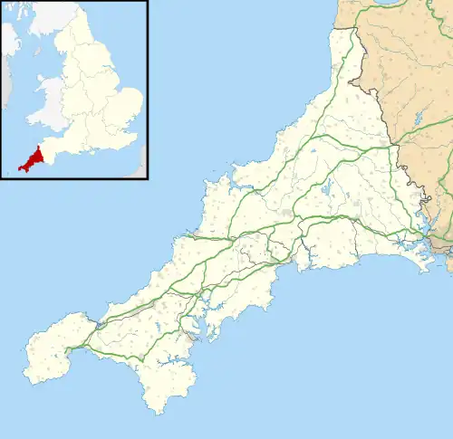 Higher Boscaswell Location within Cornwall | |
| OS grid reference | SW384342 |
| Unitary authority | |
| Ceremonial county | |
| Region | |
| Country | England |
| Sovereign state | United Kingdom |
| Post town | Penzance |
| Postcode district | TR19 |
Higher Boscaswell is a hamlet near Pendeen in west Cornwall, England. It is east of Pendeen and on the B road from St Ives to St Just.[1][2] Higher Boscaswell is included in the St Just in Penwith division on Cornwall Council.[3]
References
- ↑ Ordnance Survey: Landranger map sheet 203 Land's End & Isles of Scilly (Map). Ordnance Survey. 2009. ISBN 978-0-319-23289-7.
- ↑ Ordnance Survey One-inch Map of Great Britain; Land's End, sheet 189. 1961
- ↑ "Cornwall Council Interactive Map". Cornwall Council. Retrieved 15 November 2020.
| Unitary authorities | |
|---|---|
| Major settlements (cities in italics) |
|
| Rivers | |
| Topics | |
This article is issued from Wikipedia. The text is licensed under Creative Commons - Attribution - Sharealike. Additional terms may apply for the media files.