Holenbrunn | |
|---|---|
 Coat of arms | |
Location of Holenbrunn | |
 Holenbrunn 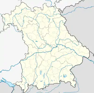 Holenbrunn | |
| Coordinates: 50°02′53″N 12°02′11″E / 50.04806°N 12.03639°E | |
| Country | Germany |
| State | Bavaria |
| Admin. region | Oberfranken |
| District | Wunsiedel |
| Town | Wunsiedel |
| Area | |
| • Total | 10.09 km2 (3.90 sq mi) |
| Elevation | 560 m (1,840 ft) |
| Population (2011)[1] | |
| • Total | 880 |
| • Density | 87/km2 (230/sq mi) |
| Time zone | UTC+01:00 (CET) |
| • Summer (DST) | UTC+02:00 (CEST) |
| Postal codes | 95632 |
| Dialling codes | 09232 |
| Vehicle registration | WUN |
Holenbrunn is a village of 1000 inhabitants in the Fichtel Mountains. It is part of the town Wunsiedel in Upper Franconia in the state of Bavaria in Germany.
History
- First mentioned around 1500
- 1818 - neighbouring villages (Hauenreuth, Holenbrunn, Juliushammer, Wintersberg and Wintersreuth) were joined to one civil parish
- 1877 – Weiden–Oberkotzau railway opened, with a station in Holenbrunn
- 1978 – amalgamation with Wunsiedel due to an administration reform
Economy, Infrastructure
Production facilities for:
- Glas (according to DIN 1249)
- High-voltage insulators
also:
- Agriculture
- Div. business enterprise
- Quarry for Wunsiedel Marble
- Train station (Wunsiedel-Holenbrunn)
References
- ↑ Holenbrunn, citypopulation.de
This article is issued from Wikipedia. The text is licensed under Creative Commons - Attribution - Sharealike. Additional terms may apply for the media files.