Hospitaalpark | |
|---|---|
 Hospitaalpark 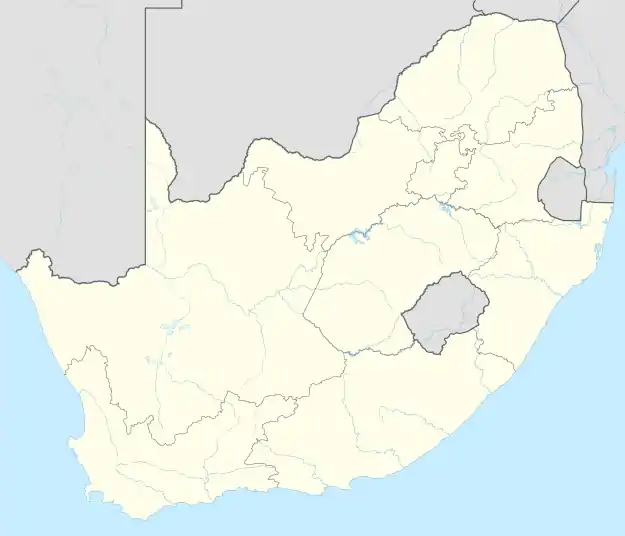 Hospitaalpark | |
| Coordinates: 29°08′24″S 26°11′38″E / 29.140°S 26.194°E | |
| Country | South Africa |
| Province | Free State |
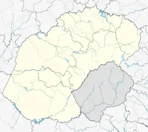
| Municipality | Mangaung |
| Main Place | Bloemfontein |
| Area | |
| • Total | 1.36 km2 (0.53 sq mi) |
| Population (2011)[1] | |
| • Total | 2,923 |
| • Density | 2,100/km2 (5,600/sq mi) |
| First languages (2011) | |
| • Afrikaans | 84.4% |
| • English | 8.5% |
| • Sotho | 3.6% |
| • Tswana | 1.1% |
| • Other | 2.4% |
| Time zone | UTC+2 (SAST) |
| Postal code (street) | 9301 |
'Hospitaalpark All the street names are named after people who contributed to medicine.
References
- 1 2 3 "Sub Place Hospitaalpark". Census 2011.
Communities of Mangaung Metropolitan Municipality, Free State | ||
|---|---|---|
Seat: Bloemfontein | ||
| Cities and towns | .svg.png.webp) Mangaung within South Africa | |
| Suburbs of Bloemfontein |
| |
This article is issued from Wikipedia. The text is licensed under Creative Commons - Attribution - Sharealike. Additional terms may apply for the media files.