Huaranchal | |
|---|---|
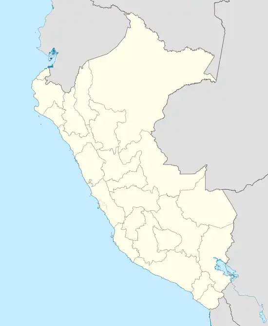 Huaranchal Location of Huaranchal in the Otuzco province | |
| Coordinates: 7°41′23″S 78°26′33″W / 7.6897°S 78.4425°W | |
| Country | |
| Region | La Libertad |
| Province | Otuzco |
| Founded | December 17, 1866 |
| Capital | Huaranchal |
| Government | |
| • Mayor | Felix A Segura Garcia |
| Area | |
| • Total | 149.65 km2 (57.78 sq mi) |
| Elevation | 2,180 m (7,150 ft) |
| Population | |
| • Total | 5,171 |
| • Density | 35/km2 (89/sq mi) |
| Time zone | UTC-5 (PET) |
| UBIGEO | 130605 |
Huaranchal District is one of ten districts of the province Otuzco in Peru.[1]
References
- ↑ (in Spanish) Instituto Nacional de Estadística e Informática. Banco de Información Distrital Archived 2008-04-23 at the Wayback Machine. Retrieved April 11, 2008.
| |
|---|---|
| Ascope | |
| Bolívar | |
| Chepén | |
| Gran Chimú | |
| Julcán | |
| Otuzco | |
| Pacasmayo | |
| Pataz | |
| Sánchez Carrión | |
| Santiago de Chuco | |
| Trujillo | |
| Virú | |
This article is issued from Wikipedia. The text is licensed under Creative Commons - Attribution - Sharealike. Additional terms may apply for the media files.