Hugus
| |
|---|---|
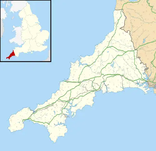 Hugus Location within Cornwall | |
| OS grid reference | SW774435 |
| Shire county | |
| Region | |
| Country | England |
| Sovereign state | United Kingdom |
| Post town | Truro |
| Postcode district | TR3 |
| Police | Devon and Cornwall |
| Fire | Cornwall |
| Ambulance | South Western |
Hugus (Cornish: Ughgos)[1] is a hamlet in west Cornwall, England, United Kingdom. It is three miles (5 km) west of Truro.[2] It is in the civil parish of Kea

Hugus Chapel
References
- ↑ Place-names in the Standard Written Form (SWF) Archived 15 May 2013 at the Wayback Machine : List of place-names agreed by the MAGA Signage Panel Archived 2013-05-15 at the Wayback Machine. Cornish Language Partnership.
- ↑ Ordnance Survey: Landranger map sheet 204 Truro & Falmouth ISBN 978-0-319-23149-4
| Unitary authorities | |
|---|---|
| Major settlements (cities in italics) |
|
| Rivers | |
| Topics | |
This article is issued from Wikipedia. The text is licensed under Creative Commons - Attribution - Sharealike. Additional terms may apply for the media files.