Ijivitari District | |
|---|---|
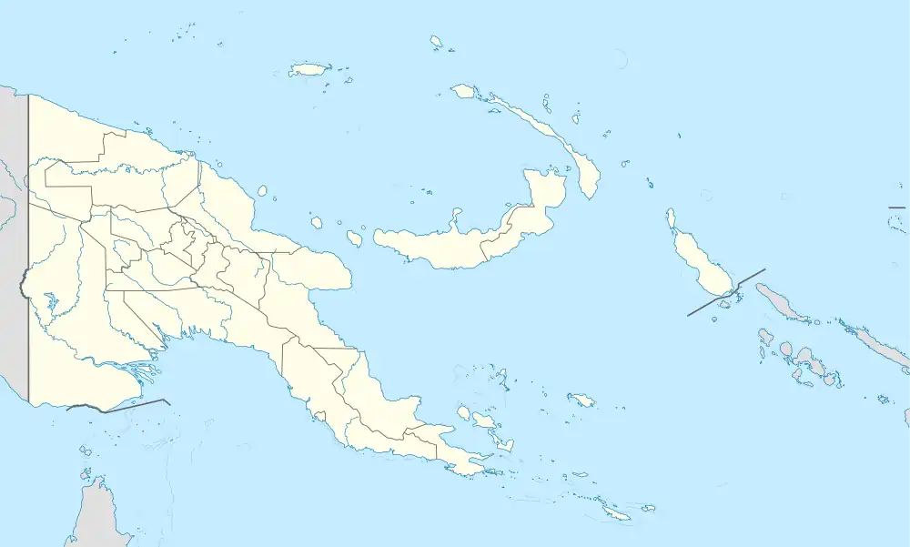 Ijivitari District Location within Papua New Guinea | |
| Coordinates: 9°15′S 148°34′E / 9.250°S 148.567°E | |
| Country | Papua New Guinea |
| Province | Oro Province |
| Capital | Popondetta |
| Area | |
| • Total | 12,709 km2 (4,907 sq mi) |
| Population (2011 census) | |
| • Total | 99,762 |
| • Density | 7.8/km2 (20/sq mi) |
| Time zone | UTC+10 (AEST) |
Ijivitari District is a district of the Oro Province of Papua New Guinea. Its capital is Popondetta. The population was 99,762 at the 2011 census.[1]
References
- ↑ Districts of Papua New Guinea at statoids.com
9°15′00″S 148°33′36″E / 9.25000°S 148.56000°E
| Ijivitari District |
| |
|---|---|---|
| Sohe District | ||
This article is issued from Wikipedia. The text is licensed under Creative Commons - Attribution - Sharealike. Additional terms may apply for the media files.