| Ingersoll Shale | |
|---|---|
| Stratigraphic range: Santonian ~ | |
| Type | Informal unit |
| Unit of | Eutaw Formation |
| Thickness | 90 cm (35 in) |
| Lithology | |
| Primary | Claystone |
| Other | Sandstone |
| Location | |
| Coordinates | 32°30′N 85°00′W / 32.5°N 85.0°W |
| Approximate paleocoordinates | 32°24′N 54°12′W / 32.4°N 54.2°W |
| Region | Russell County, Alabama |
| Country | |
| Extent | <30 m (98 ft) |
 Ingersoll Shale (the United States) 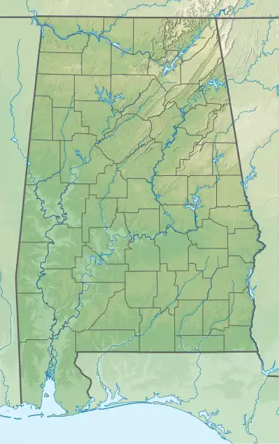 Ingersoll Shale (Alabama) | |
The Ingersoll Shale is a Late Cretaceous (Santonian) informal geological unit in eastern Alabama. Fourteen theropod feathers assigned to birds and possibly dromaeosaurids have been recovered from the unit.[1][2]
Description
The Ingersoll Shale consists of a clay-dominated lens, asymmetrical in cross-section, with a maximum thickness of 90 centimetres (35 in) and a width estimated to be less than 30 metres (98 ft).
References
- ↑ Knight et al., 2011
- ↑ Ingersoll Shale at Fossilworks.org
Bibliography
- Knight, Terrell K.; P. Sean Bingham; Ronald D. Lewis, and Charles E. Savrda. 2011. Feathers of the Ingersoll shale, Eutaw Formation (Upper Cretaceous), eastern Alabama: The largest collection of feathers from North American Mesozoic rocks. PALAIOS 26. 364–376. . doi:10.2110/palo.2010.p10-091r
This article is issued from Wikipedia. The text is licensed under Creative Commons - Attribution - Sharealike. Additional terms may apply for the media files.