Ira
Ира | |
|---|---|
Selo | |
 Ira 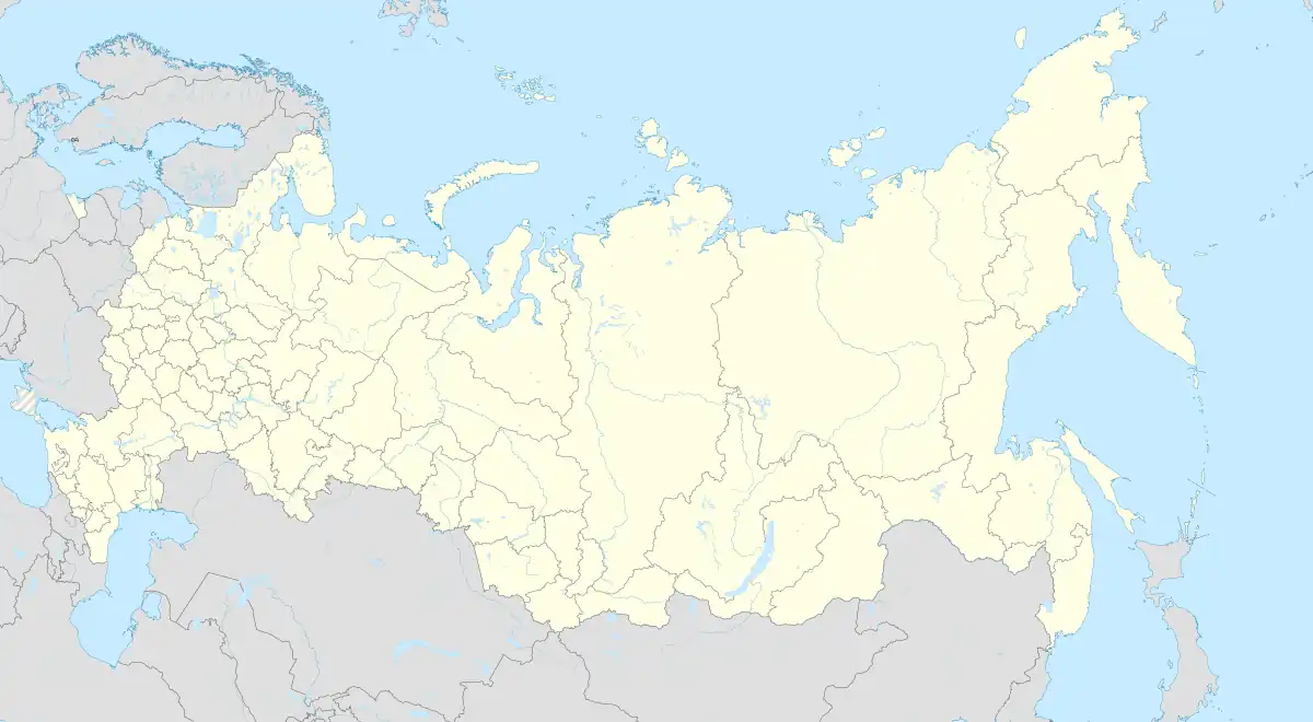 Ira | |
| Coordinates: 52°51′N 55°55′E / 52.850°N 55.917°E[1] | |
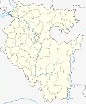
| Country | Russia |
| Region | Bashkortostan |
| District | Kumertau |
| Area | |
| • Total | 1.05 km2 (0.41 sq mi) |
| Population (2010) | |
| • Total | 559 |
| • Density | 530/km2 (1,400/sq mi) |
| Time zone | UTC+5:00 |
Ira (Russian: Ира; Bashkir: Ира, İra) is a rural locality (a selo) in Kumertau, Bashkortostan, Russia. The population was 559 as of 2010.[2] There are 6 streets.
Geography
Ira is located 17 km northeast of Kumertau. Pchelka is the nearest rural locality.[3]
References
- ↑ Карта города Кумертау
- ↑ "Всероссийская перепись населения 2010 года. Численность населения по населённым пунктам Республики Башкортостан" (PDF). Archived from the original (PDF) on 2019-05-17. Retrieved 2019-08-20.
- ↑ Расстояние от Иры до Кумертау
This article is issued from Wikipedia. The text is licensed under Creative Commons - Attribution - Sharealike. Additional terms may apply for the media files.