| Iragul Western Australia | |
|---|---|
 Iragul | |
| Coordinates | 32.118133°0′S 121.69529°0′E / 32.118°S 121.695°E |
| Postcode(s) | 6443 |
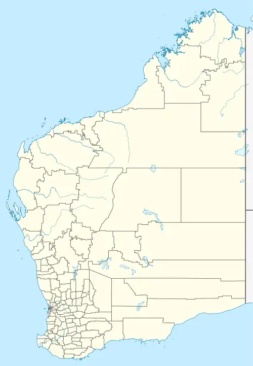
| Location | 15 km (9 mi) north of Norseman |
| LGA(s) | Shire of Dundas |
| State electorate(s) | Eyre |
| Federal division(s) | O'Connor |
Iragul is a small Aboriginal community, located in the Goldfields–Esperance region of Western Australia, within the Shire of Dundas.
Native title
The community is located within the registered Ngadju (WAD6020/98) native title claim area.
Governance
The community is managed through its incorporated body, Iragul Aboriginal Corporation, incorporated under the Aboriginal Councils and Associations Act 1976 on 13 February 1989.
Town planning
Layout Plan No.1 has been prepared in accordance with State Planning Policy 3.2 Aboriginal Settlements. Layout Plan No.1 was endorsed by the community on 20 April 2004 and the Western Australian Planning Commission on 17 January 2006.[1]
Notes
- ↑ "Layout plans". Department of Planning, Lands and Heritage. 20 February 2020. Retrieved 10 February 2021.
External links
This article is issued from Wikipedia. The text is licensed under Creative Commons - Attribution - Sharealike. Additional terms may apply for the media files.