Irakleia
Ηράκλεια | |
|---|---|
 Irakleia | |
| Coordinates: 37°42′N 21°34′E / 37.700°N 21.567°E | |
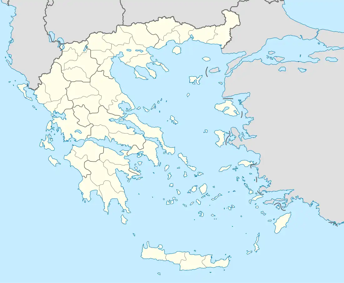
| Country | Greece |
| Administrative region | West Greece |
| Regional unit | Elis |
| Municipality | Archaia Olympia |
| Municipal unit | Archaia Olympia |
| Population (2011)[1] | |
| • Rural | 272 |
| Time zone | UTC+2 (EET) |
| • Summer (DST) | UTC+3 (EEST) |
Irakleia (Greek: Ηράκλεια, before 1915: Μπρούμα - Brouma[2]) is a village in the municipality of Ancient Olympia, Elis, Greece. Its population in 2011 was 272. Irakleia is located 3 km northwest of Pelopio, 6 km southeast of Karatoula, 7 km northwest of Olympia and 15 km northeast of Pyrgos.
Population
| Year | Population |
|---|---|
| 1981 | 352 |
| 1991 | 343 |
| 2001 | 388 |
| 2011 | 272 |
History
Irakleia was named after Heracleia, a town of the ancient Eleans, located about 50 stadia (9 km) from Olympia and near the river Kytheros. It had a spring and a sanctuary of the Ionides: the nymphs Calliphaea, Synallasia, Pegaea and Iasis. It was believed that the spring water cured all sorts of aches and pains.[3][4]
See also
References
- ↑ "Απογραφή Πληθυσμού - Κατοικιών 2011. ΜΟΝΙΜΟΣ Πληθυσμός" (in Greek). Hellenic Statistical Authority.
- ↑ Name changes of settlements in Greece
- ↑ Pausanias Description of Greece 6.22.7
- ↑ Strabo V
External links
This article is issued from Wikipedia. The text is licensed under Creative Commons - Attribution - Sharealike. Additional terms may apply for the media files.