Jangdan-myeon
장단면 | |
|---|---|
Myeon (township) | |
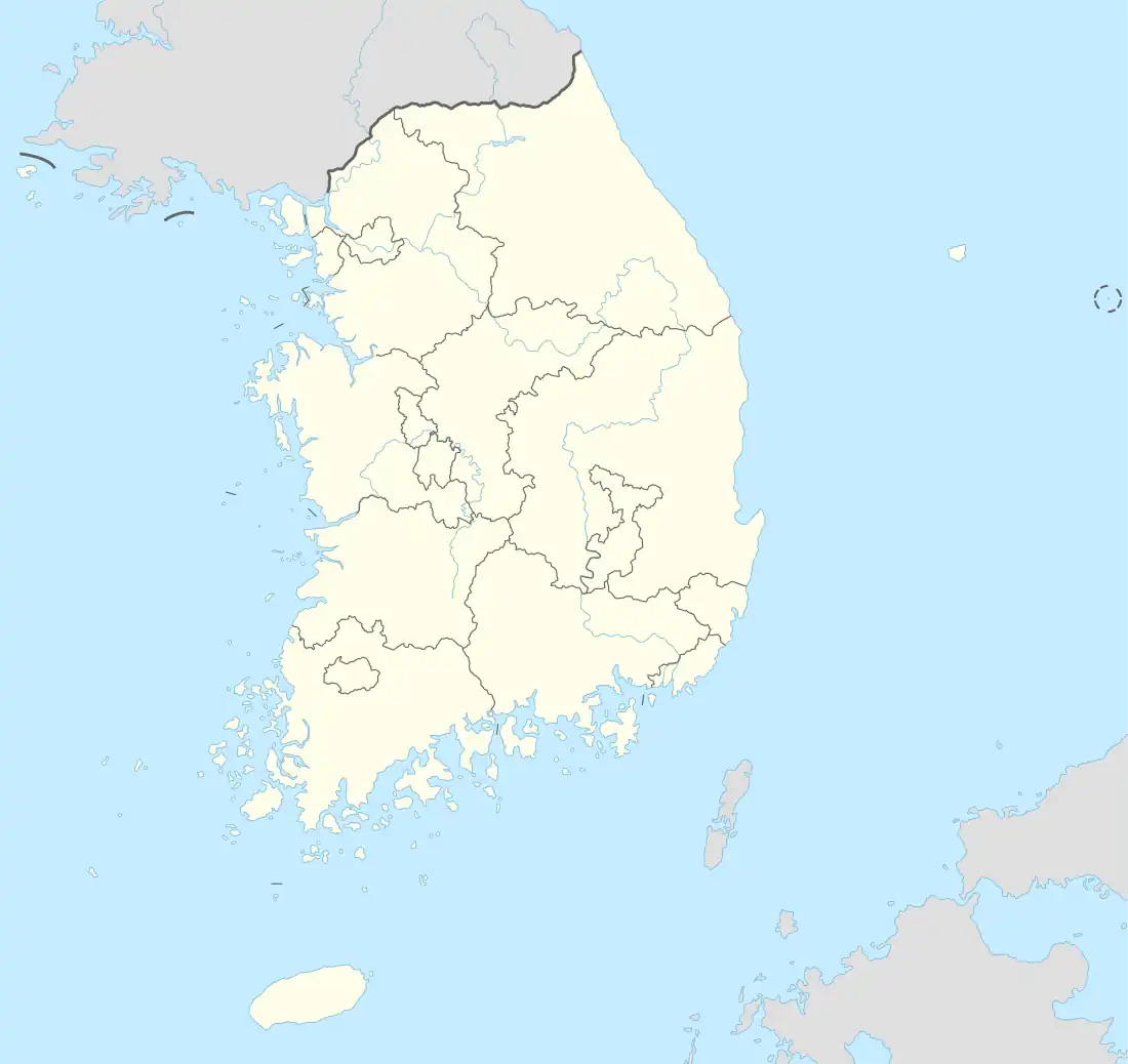 Jangdan-myeon Location in South Korea | |
| Coordinates: 37°52′40″N 126°41′29″E / 37.8779°N 126.6915°E | |
| Country | South Korea |
| Province | Gyeonggi Province |
| City | Paju |
| Time zone | UTC+9 (Korea Standard) |
Jangdan-myeon (Korean: 장단면; Hanja: 長湍面) is a myeon (township) under the administration of Paju, Gyeonggi Province, South Korea. As of 2019, it administers the following eight villages:[1][2]
- Nosang-ri (노상리, 盧上里)
- Noha-ri (노하리, 盧下里)
- Geogok-ri (거곡리, 巨谷里)
- Dorasan-ri (도라산리, 都羅山里)
- Seokgot-ri (석곶리, 石串里)
- Gangjeong-ri (강정리, 江井里)
- Dongjang-ri (동장리, 東場里)
- Jeongdong-ri (정동리, 井洞里)
References
- ↑ 파주시 행정구역 영.한표기 (PDF) (in Korean). Paju City. 20 August 2014. Retrieved 22 December 2020.
- ↑ "행정구역현황" (in Korean). Paju City. Retrieved 22 December 2020.
This article is issued from Wikipedia. The text is licensed under Creative Commons - Attribution - Sharealike. Additional terms may apply for the media files.