Jhotwara | |
|---|---|
Suburban | |
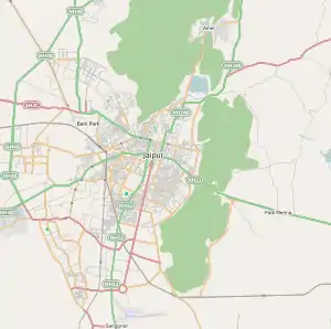 Jhotwara Location in Jaipur, Rajasthan, India .svg.png.webp) Jhotwara Jhotwara (Greater Jaipur) 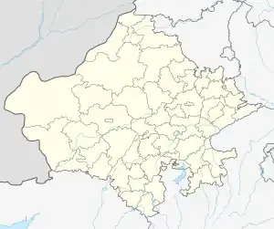 Jhotwara Jhotwara (Rajasthan)  Jhotwara Jhotwara (India) | |
| Coordinates: 26°56′35″N 75°45′25″E / 26.943041°N 75.757057°E | |
| Country | |
| State | Rajasthan |
| District | Jaipur |
| Languages | |
| • Official | Hindi |
| Time zone | UTC+5:30 (IST) |
| PIN | 302012 |
| Nearest city | Jaipur |
| Climate | Hot and dry (Köppen) |
Jhotwara is a suburban area of Jaipur in the north-west direction of Jaipur, the capital of Indian State of Rajasthan. It is a Legislative Assembly constituency[1][2]
History
This area was under meena tribe which was annexed in Kachhwaha Rajput kingdom of Amber by Rao Dulha.[3] It was ruled by the Jaipur royal family till Independence of India.
Area under Jhotwara
These are 22 ward under Jhotwara.[4]
- Vaishali Nagar
- Kanakpura
- Panchyawala
- Meenawala
- Girdharipura
- Lalpura
- Dhawas
- Heerapura
- Gajsinghpura
- Mukumdpura
- Maharajpura
- Bindayka
- Sirsi
References
- ↑ "New Assembly Constituencies" (PDF). ceorajasthan.nic.in. 25 January 2006. Retrieved 12 February 2021.
- ↑ "Jhotwara Assembly Constituency Election Result - Legislative Assembly Constituency".
- ↑ Sarkar, J.; Sinh, R. (1994). A History of Jaipur: C. 1503-1938. Orient Longman. ISBN 978-81-250-0333-5. Retrieved 14 April 2022.
- ↑ "A Map" (PDF).
This article is issued from Wikipedia. The text is licensed under Creative Commons - Attribution - Sharealike. Additional terms may apply for the media files.