Karatali | |
|---|---|
City | |
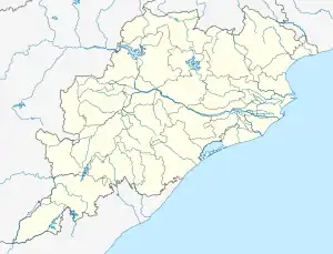 Karatali Location in Odisha, India  Karatali Karatali (India) | |
| Coordinates: 19°21′N 84°59′E / 19.35°N 84.98°E | |
| Country | |
| State | Odisha |
| District | Ganjam |
| Elevation | 14 m (46 ft) |
| Population (2011) | |
| • Total | 664 |
| Languages | |
| • Official | Oriya |
| Time zone | UTC+5:30 (IST) |
| PIN | 761111 |
| Telephone code | 06818 |
| Vehicle registration |
|
| Website | odisha |
Karatali is a village under Chatrapur tahasil in Ganjam district in the Indian state of Odisha.
Demographics
With a total of 127 families residing, Karatali village has a population of 664, of which 344 are males and 320 are females as per Population Census 2011. Karatali village has a higher literacy rate compared to Odisha. In 2011, the literacy rate of Karatali village was 81.93 % compared to 72.87 % of Odisha. The village had a Male literacy rate of 97.30 % while the female literacy rate was 65.96%. The average sex ratio of the village is 930.
Education
The village has the following schools/educational institutions.
- Haladiapadar U.P.S School
References
This article is issued from Wikipedia. The text is licensed under Creative Commons - Attribution - Sharealike. Additional terms may apply for the media files.