Karitsa
Καρίτσα | |
|---|---|
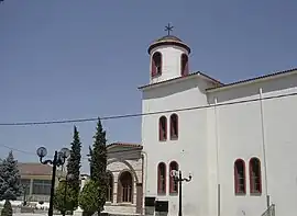 The Church of Agios Dimitrios in Karitsa | |
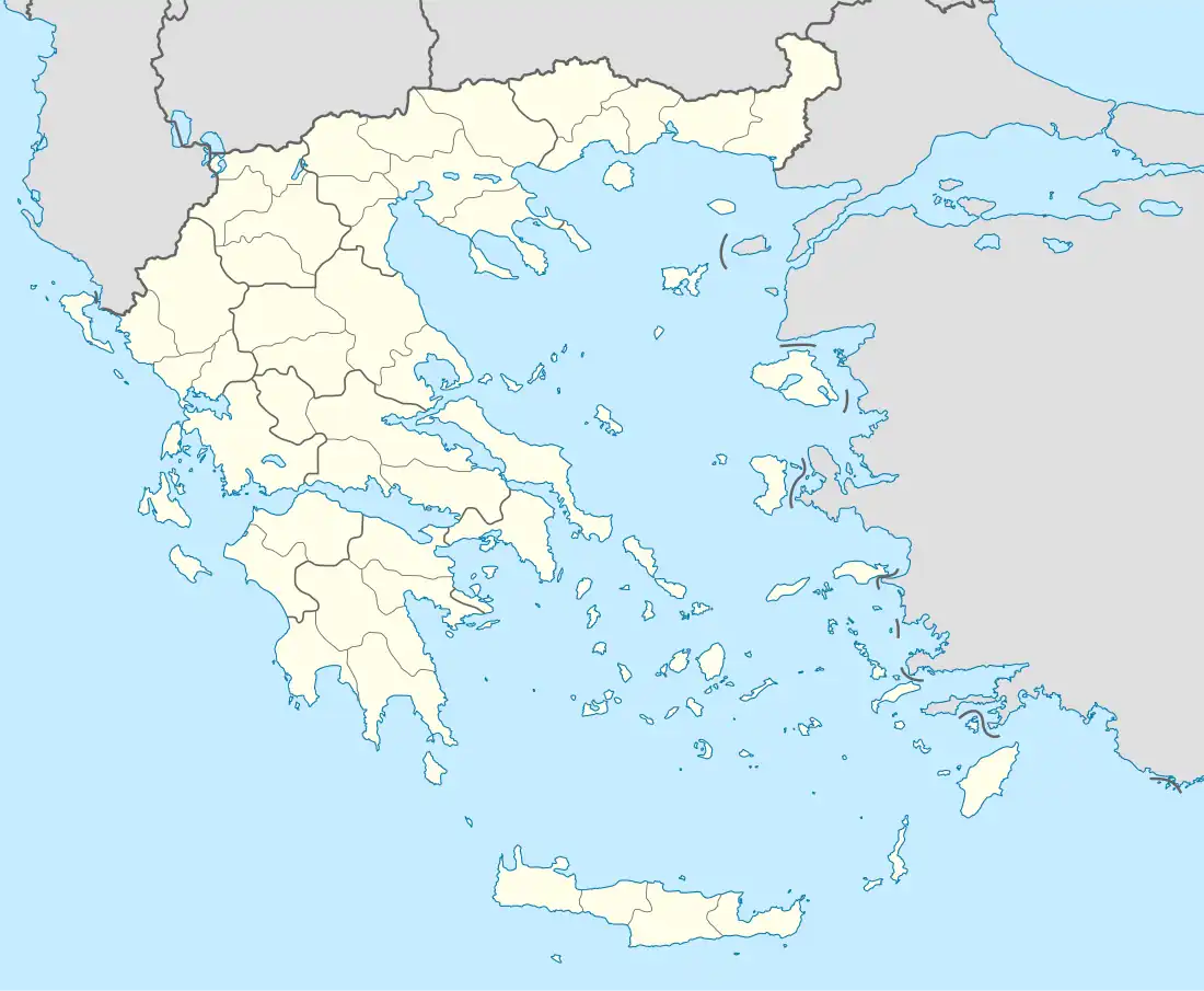 Karitsa Location within the regional unit  | |
| Coordinates: 40°11′15″N 22°28′55″E / 40.18750°N 22.48194°E | |
| Country | Greece |
| Administrative region | Central Macedonia |
| Regional unit | Pieria |
| Municipality | Dio-Olympos |
| Municipal unit | Dio |
| Highest elevation | 30 m (100 ft) |
| Lowest elevation | 10 m (30 ft) |
| Community | |
| • Population | 2,025 (2011) |
| Time zone | UTC+2 (EET) |
| • Summer (DST) | UTC+3 (EEST) |
| Postal code | 601 00 |
| Area code(s) | 23510 |
| Vehicle registration | KN |
Karitsa (Greek: Καρίτσα) is a lowland Aromanian (Vlach) town of the former Municipality of Dio, which is part of the municipality of Dio-Olympos, in the Pieria regional unit, Central Macedonia, Greece. The population was 2,025 people as of 2011.[2] It is located 13 km south of Katerini.
Livestock farming and tobacco growing are the main occupations of the residents. Also produced is corn, beet, endive, kiwi, and cereals.
References
- ↑ "Απογραφή Πληθυσμού - Κατοικιών 2011. ΜΟΝΙΜΟΣ Πληθυσμός" (in Greek). Hellenic Statistical Authority.
- ↑ "Απογραφή Πληθυσμού - Κατοικιών 2011. ΜΟΝΙΜΟΣ Πληθυσμός" (in Greek). Hellenic Statistical Authority.
Notes
This article is issued from Wikipedia. The text is licensed under Creative Commons - Attribution - Sharealike. Additional terms may apply for the media files.