Kasonga Airport | |||||||||||
|---|---|---|---|---|---|---|---|---|---|---|---|
| Summary | |||||||||||
| Airport type | Closed | ||||||||||
| Location | Kasonga, Democratic Republic of the Congo | ||||||||||
| Elevation AMSL | 2,707 ft / 825 m | ||||||||||
| Coordinates | 6°39′00″S 22°23′30″E / 6.65000°S 22.39167°E | ||||||||||
| Map | |||||||||||
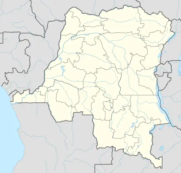 FZUF Location of the airport in Democratic Republic of the Congo | |||||||||||
| Runways | |||||||||||
| |||||||||||
Kasonga Airport (ICAO: FZUF) was a rural airstrip near Kasonga in Kasaï-Central Province, Democratic Republic of the Congo.
See also
References
- ↑ Airport information for Kasonga Airport at Great Circle Mapper.
- ↑ "Kasonga hamlet". Google Maps. Retrieved 23 April 2018.
External links
- OpenStreetMap - Kasonga
- OurAirports - Kasonga
- FallingRain - Kasonga Airport
- Accident history for Kasonga Airport at Aviation Safety Network
This article is issued from Wikipedia. The text is licensed under Creative Commons - Attribution - Sharealike. Additional terms may apply for the media files.